最小化 最新宪章启动

Charter activations

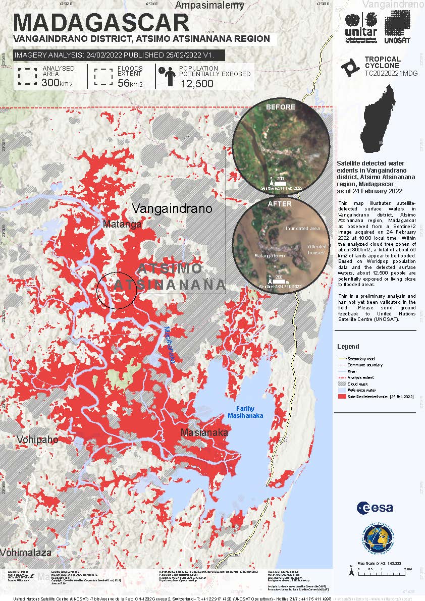
Cyclone Emnati in Madagascar

Cyclone Emnati has caused further floods and landslides in Madagascar.

It is the fourth storm to affect the island since January, following Tropical Storm Ana, Cyclone Batsirai, and Cyclone Dumako, leaving the island with little time to recover between storms.

Emnati made landfall on the evening of 22 February, but weakened during 23 February. Over 30,000 people were evacuated as the storm approached, and no casualties were reported so far.

事件类型:Ocean Storm - Cyclone, Floods, Landslides
事件地点:Madagascar
启动宪章的日期:2022-02-25
宪章启动时间:06:57
宪章启动时区:UTC+01:00
宪章要求者:Bureau National de Gestion des Risques et des Catastrophes (BNGRC)
启动ID:752
项目经理:UNITAR/UNOSAT

Products

Tropical cyclone Emnati-22, Preliminary satellite-derived, damage assessment

版权: © (2022) DigitalGlobe, Inc., Longmont CO USA 80503. DigitalGlobe and the DigitalGlobe logos are trademarks of DigitalGlobe, Inc. The use and/or dissemination of this data and/or of any product in any way derived there from are restricted. Unauthorized use and/or dissemination is prohibited
Copyright NRSC (2022)
Map produced by UNITAR / UNOSAT

Information about the Product

已获得: WorldView-2: 04/03/2022
WorldView-3: 03/03/2022
CARTOSAT-2: 03/03/2022

源: WorldView-2, WorldView-3, CARTOSAT-2

类别: Dossier

Satellite detected water extents in Midongy-Atsimo District, Atsimo Atsinanana Region, Madagascar

版权: Contains modified Copernicus Sentinel data (2022)
Map produced by UNITAR / UNOSAT

Information about the Product

已获得: 24/02/2022

源: Sentinel-2

类别: Delineation Map

Satellite detected water extents in Ambohimahasoa, Lalangina, and Vohibato Districts, Madagascar

版权: Contains modified Copernicus Sentinel data (2022)
Map produced by UNITAR / UNOSAT

Information about the Product

已获得: 24/02/2022

源: Sentinel-2

类别: Delineation Map

Satellite-detected water extents in Farafangana and Vondrozo Districts, Atsimo Atsinanana Region

版权: Contains modified Copernicus Sentinel data (2022)
Map produced by UNITAR / UNOSAT

Information about the Product

已获得: 24/02/2022

源: Sentinel-2

类别: Delineation Map

Preliminary satellite-derived damage assessment, Iakora Commune, Iakora District, Madagascar

Download the full report

版权: Contains modified Copernicus Sentinel data (2022)
Includes Pleiades material © CNES (2022), Distribution Airbus DS.
Report produced by UNOSAT / UNITAR

Information about the Product

已获得: Sentinel-2: 30/01/2022
Pleiades: 02/03/2022

源: Sentinel-2 / Pleiades

类别: Dossier

Satellite detected water extents in Iakora and Ivohibe Districts, Ihorombe Region, Madagascar

版权: Contains modified Copernicus Sentinel data (2022)
Map produced by UNITAR / UNOSAT

Information about the Product

已获得: 24/02/2022

源: Sentinel-2

类别: Delineation Map

Satellite detected water extents in Mahanoro District, Atsinanana Region, Madagascar

版权: Contains modified Copernicus Sentinel data (2022)
Map produced by UNITAR / UNOSAT

Information about the Product

已获得: 24/02/2022

源: Sentinel-2

类别: Delineation Map

Satellite detected water extents in Mananjary and Nosy-Varika Districts, Madagascar

版权: Contains modified Copernicus Sentinel data (2022)
Map produced by UNITAR / UNOSAT

Information about the Product

已获得: 24/02/2022

源: Sentinel-2

类别: Delineation Map

Satellite detected water extents in Vangaindrano District, Atsimo Atsinanana Region, Madagascar

版权: Contains modified Copernicus Sentinel data (2022)
Map produced by UNITAR / UNOSAT

Information about the Product

已获得: 01/03/2022

源: Sentinel-2

类别: Delineation Map

Tropical cyclone Emnati-22, preliminary satellite-derived damage assessment
Download full report

版权: Includes Pleiades material © CNES (2022), Distribution Airbus DS.
Map produced by UNITAR / UNOSAT

Information about the Product

已获得: 28/02/2022

源: Pleiades

类别: Dossier

Satellite-detected water extents in Ifotaka Commune, Amboasary-Atsimo District, Anosy Region

版权: RADARSAT Constellation Mission Imagery © Government of Canada (2022) - RADARSAT is an official mark of the Canadian Space Agency
Map produced by UNITAR / UNOSAT

Information about the Product

已获得: 28/02/2022

源: RCM

类别: Delineation Map

Satellite-detected water extents in Mananjary District, Vatovavy Fitovinany Region, Madagascar

版权: Contains modified Copernicus Sentinel data (2022)
Map produced by UNITAR / UNOSAT

Information about the Product

已获得: 27/02/2022

源: Sentinel-1

类别: Delineation Map

Satellite-detected water extents in Farafangana and Vangaindrano Districts, Madagascar

版权: Contains modified Copernicus Sentinel data (2022)
Map produced by UNITAR / UNOSAT

Information about the Product

已获得: 27/02/2022

源: Sentinel-1

类别: Delineation Map

Satellite-detected water extents in Taolagnaro District, Anosy Region, Madagascar

版权: © DLR e.V. (2022), Distribution Airbus DS Geo GmbH
Map produced by UNITAR / UNOSAT

Information about the Product

已获得: 26/02/2022

源: TerraSAR-X

类别: Reference Map

Satellite detected water extents in Betroka District, Anosy Region of Madagascar

版权: Contains modified Copernicus Sentinel data (2022)
Map produced by UNITAR / UNOSAT

Information about the Product

已获得: 24/02/2022

源: Sentinel-1

类别: Delineation Monitoring Maps

Satellite detected water extents in Vangaindrano District, Atsimo Atsinanana Region

版权: Contains modified Copernicus Sentinel data (2022)
Map produced by UNITAR / UNOSAT

Information about the Product

已获得: 14/02/2022, 24/02/2022

源: Sentinel-2

类别: Reference Map

Satellite detected water extents in Manakara Atsimo district, Vatovavy Fitovinany region of Madagascar

版权: Contains modified Copernicus Sentinel data (2022)
Map produced by UNITAR / UNOSAT

Information about the Product

已获得: 19/02/2022, 24/02/2022

源: Sentinel-2

类别: Delineation Map

返回完整的响应档案