 English
 Spanish
 French
 Chinese
 Russian
 Portuguese
 Latest Activation
Charter activations
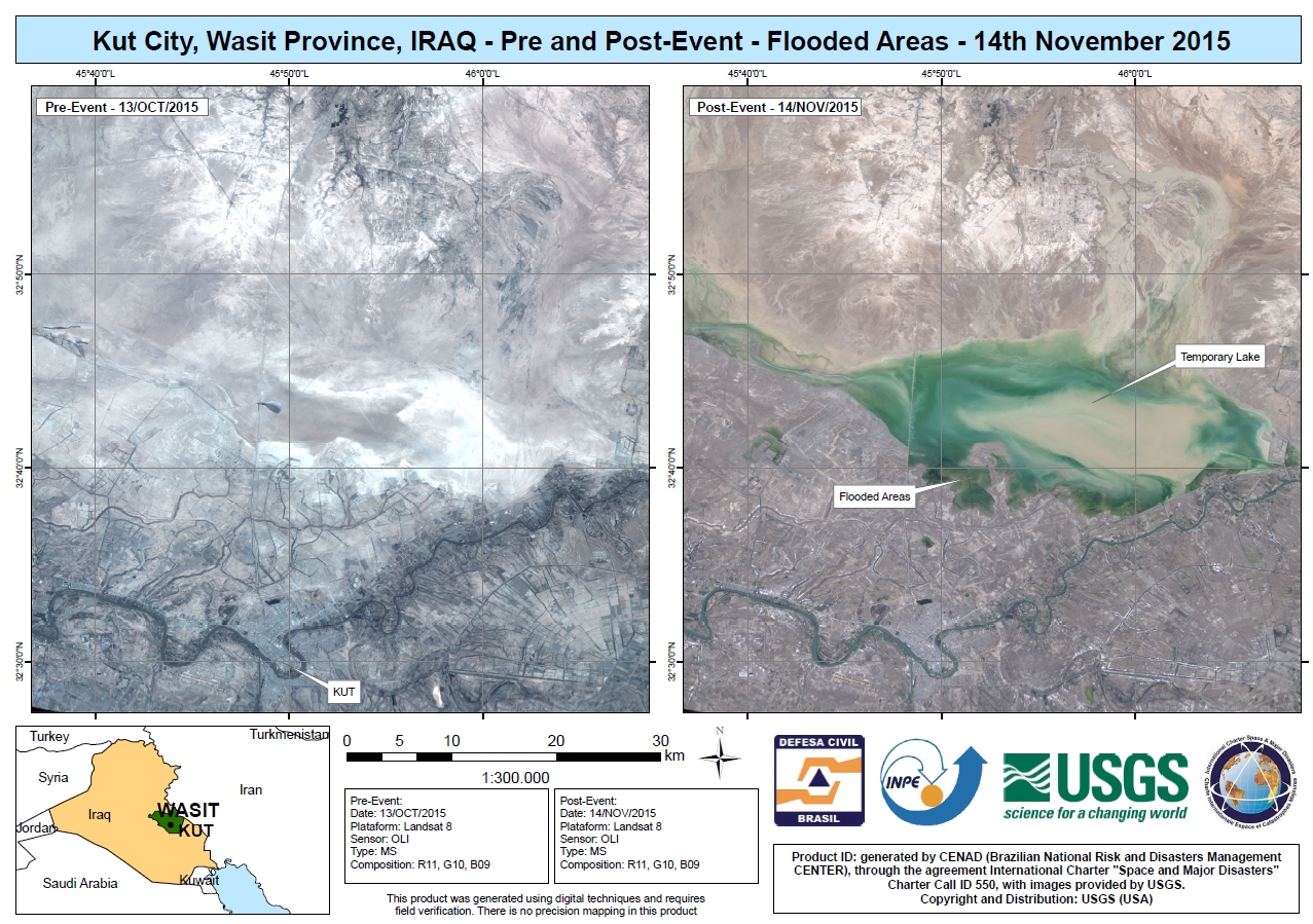
Flood in Iraq
Torrential rain between 28 and 30 October has caused widespread floods in eastern Iraq.
The country's Prime Minister declared a state of emergency after the flooding.
In some areas, including the capital city of Baghdad, the rain overwhelmed drainage systems, causing sewage to spill out into the streets. Many homes and other structures, including hospitals, have been inundated by the flood water and sewage. Some reports indicate that seven people were killed in the floods.
The floods also affected electrical systems, and 58 people were reported killed due to electrical shocks.
Additionally, thousands of refugees displaced by conflict have also been affected by the floods as muddy water swept into their tent camps.
| Type of Event: | Flood |
| Location of Event: | Iraq |
| Date of Charter Activation: | 5 November 2015 |
| Time of Charter Activation: | 17:30:09 |
| Time zone of Charter Activation: | UTC-06:00 |
| Charter Requestor: | USGS on behalf of Ministry of Science and Technology |
| Project Management: | CENAD |
Products

 Back to the full activation archive

