 English
 Spanish
 French
 Chinese
 Russian
 Portuguese
 Latest Activation
Charter activations
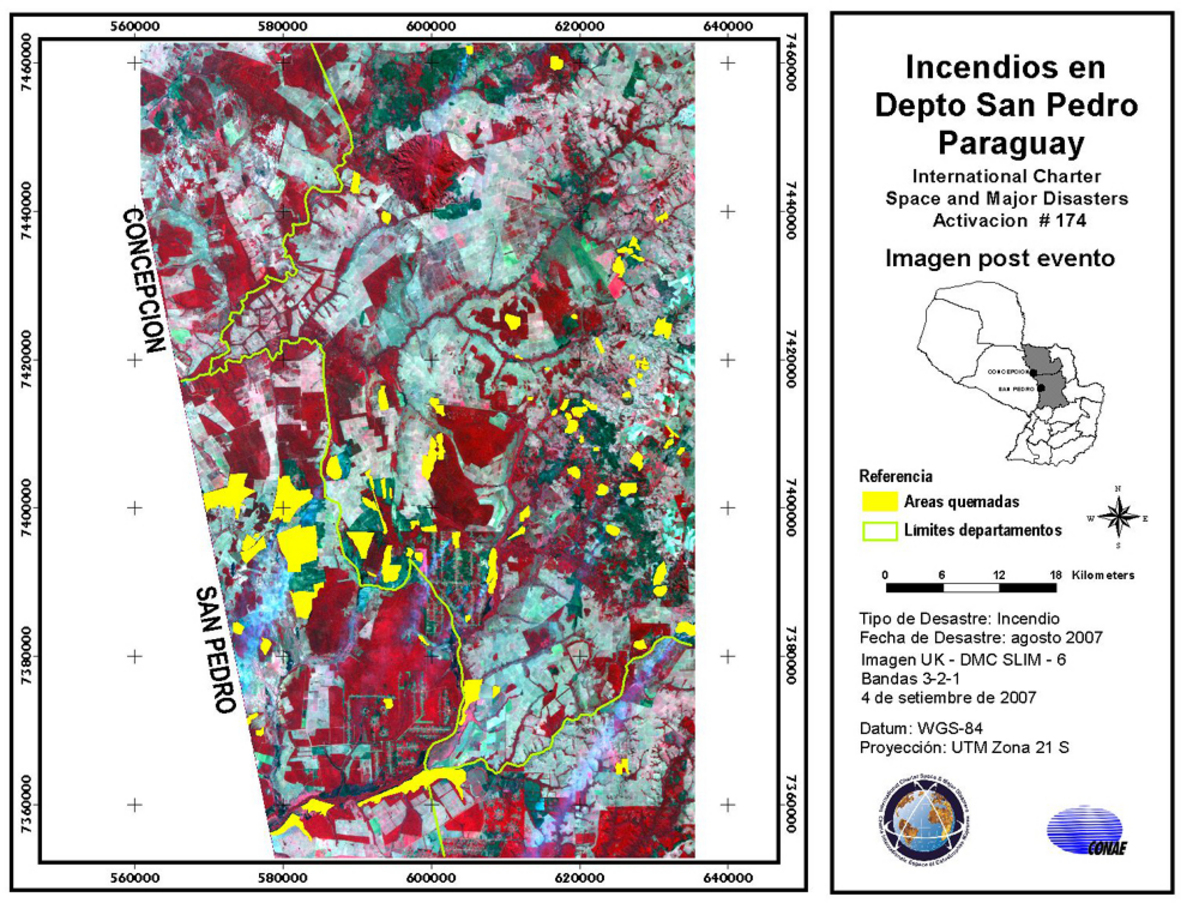
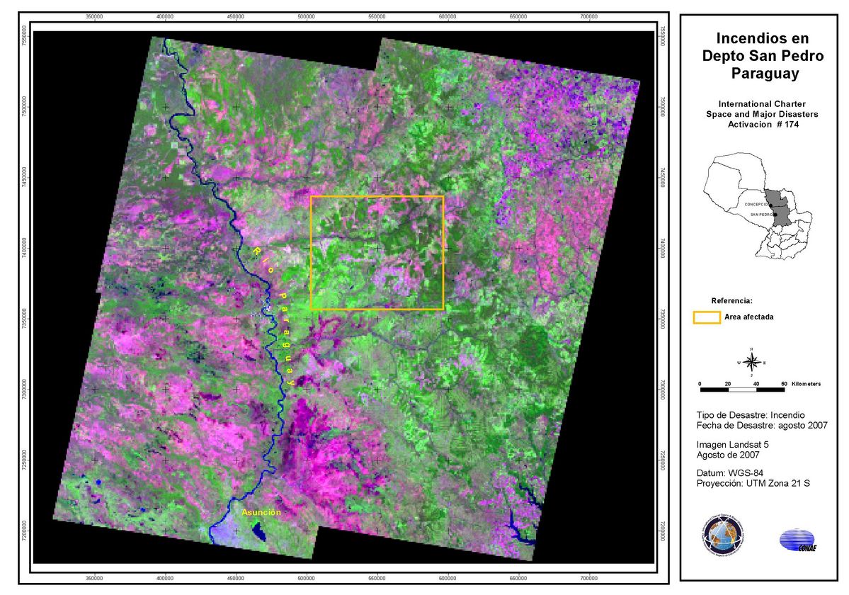
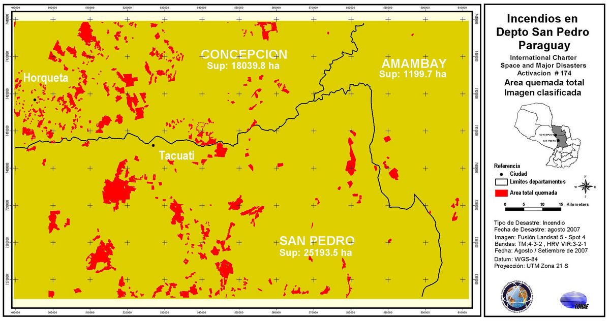
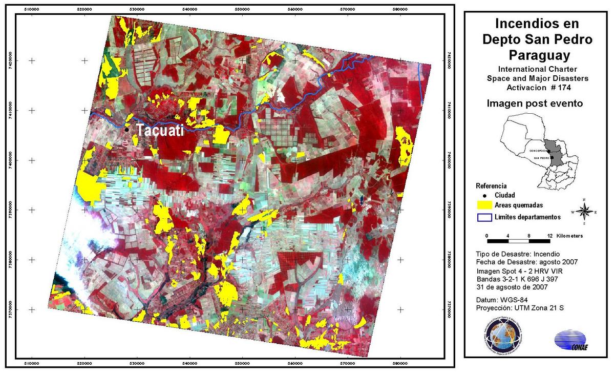
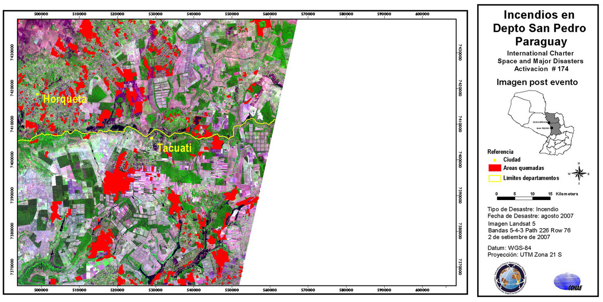
Fires in Paraguay
Fires have hit forests and agricultural areas in the Tacuati District of San Pedro, and 2000 people have been affected.
| Type of Event: | Fires |
| Location of Event: | San Pedro, Paraguay |
| Date of Charter Activation: | 27/08/2007 19:27 UTC |
| Charter Requestor: | SIFEM |
| Project Management: | CONAE |
Products


 Back to the full activation archive

