 English
 Spanish
 French
 Chinese
 Russian
 Portuguese
 Flooding in Somalia
Flooding in Somalia
Charter activations
Flooding in Somalia
The Gu rains have continued to spread across most parts of Somalia with Somaliland and Puntland experiencing moderate to heavy rains over the last week.
According to unconfirmed reports, approximately 50 houses have been either partially damaged or destroyed leading to displacement of several households. Power and water systems are also reportedly damaged, while public infrastructure have also been impacted.
| Local do evento: | Somalia |
| Data da Ativação da Carta: | 2021-05-03 |
| Tempo de Ativação da Carta: | 09:38 |
| Zona de Tempo da Ativação da Carta: | UTC+02:00 |
| Requisitante da Carta: | UNITAR on behalf of FAO Somalia |
| ID da Ativação: | 706 |
| Gerenciamento de projeto: | UNITAR / UNOSAT |
Products
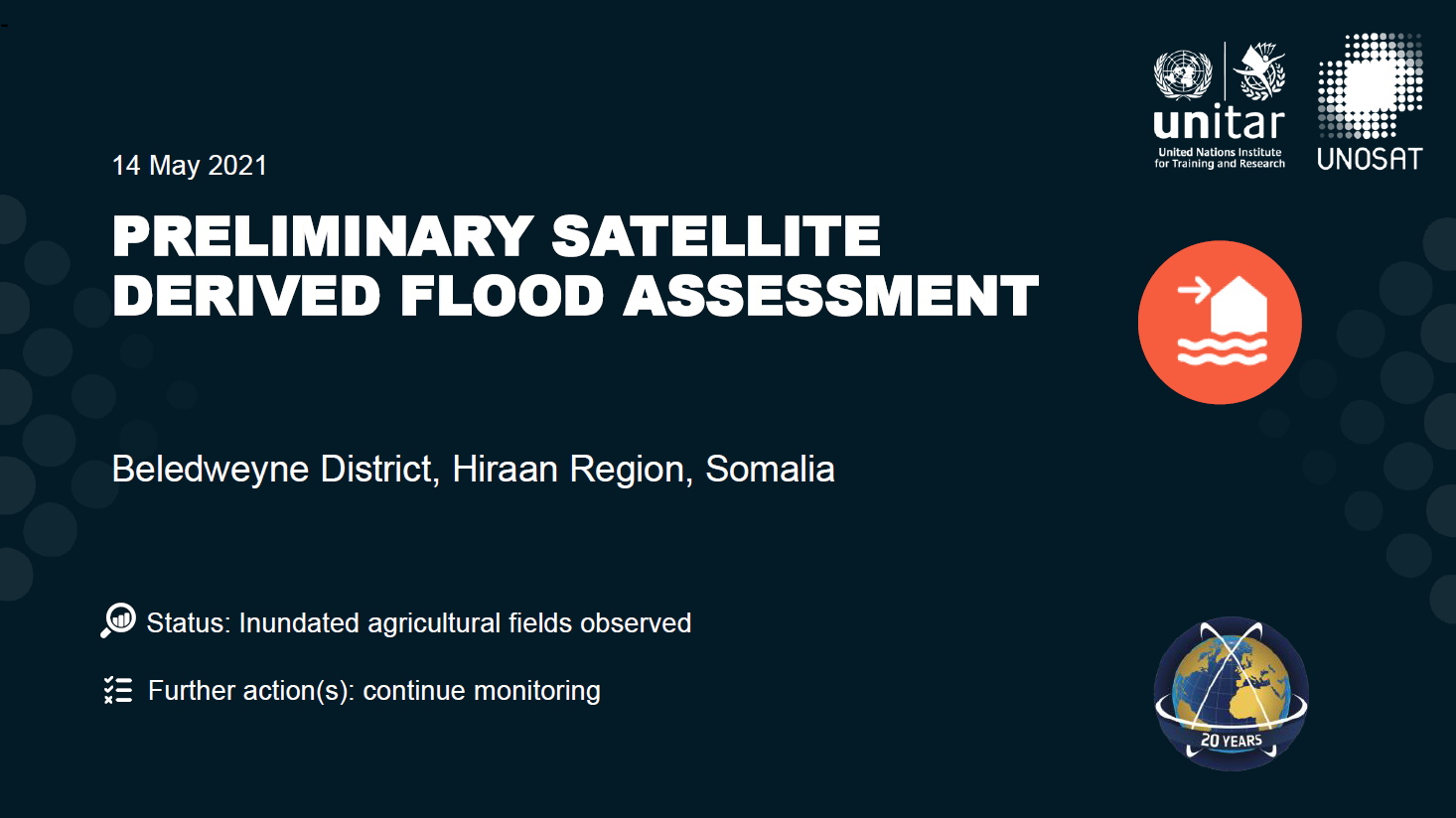
Preliminary satellite-derived flood assessment, Beledweyne district, Hiraan Region, Somalia
Read full report
Direitos autorais: Includes Pleiades material © CNES (2021), Distribution Airbus DS.
Map produced by UNITAR / UNOSAT
Information about the Product
Adquirida: 04/05/2021, 11/05/2021, 13/05/2021
Fonte: Pleiades
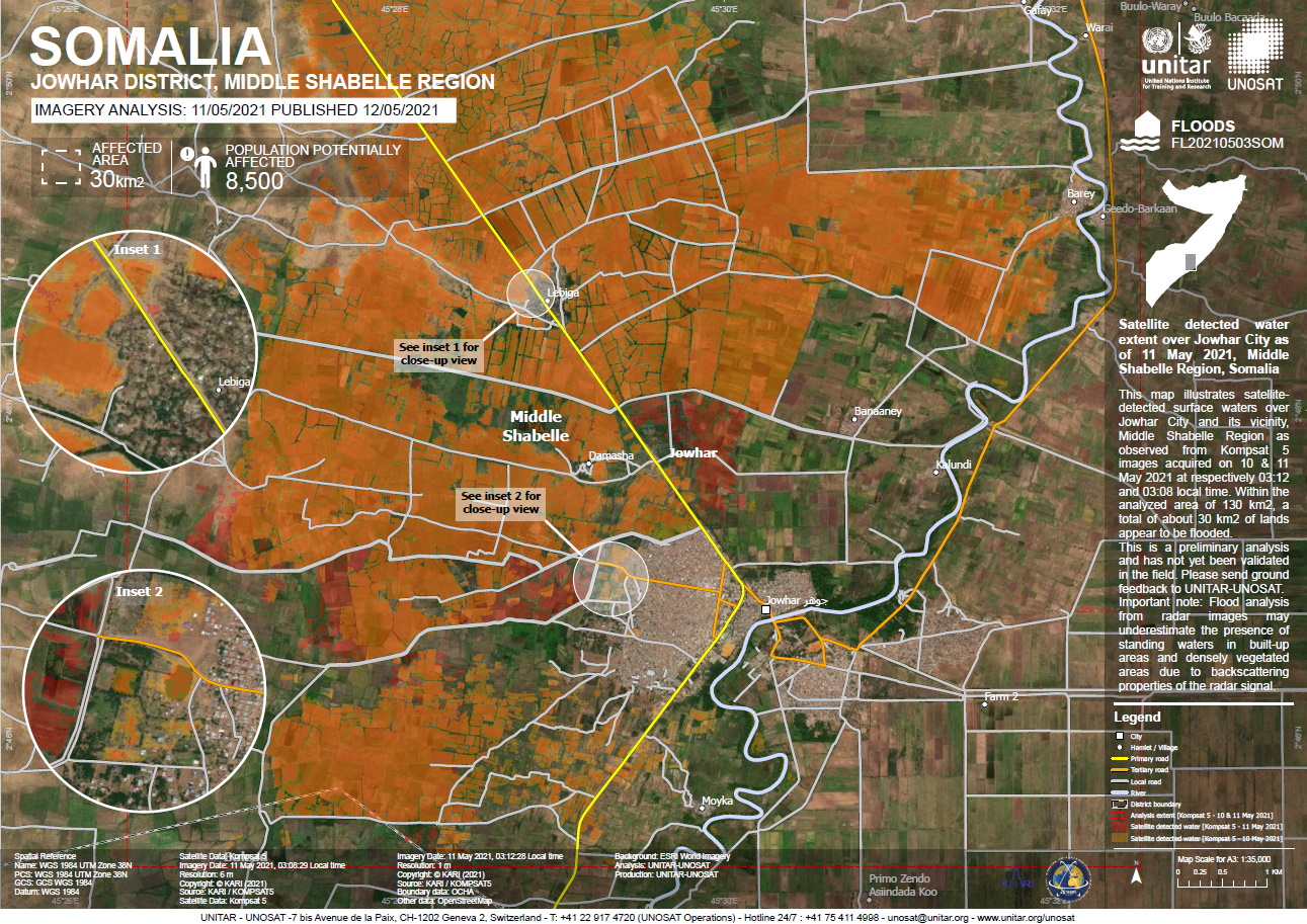
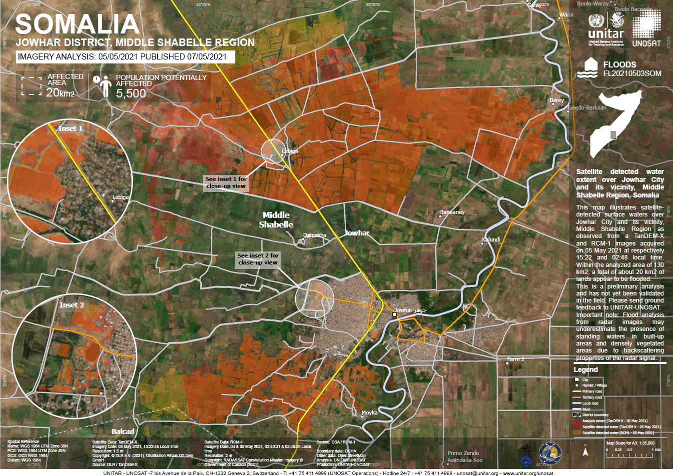
Satellite detected water extent over Jowhar City and its vicinity, Middle Shabelle Region, Somalia
Direitos autorais: © DLR e.V. (2021), Distribution Airbus DS Geo GmbH
RADARSAT Constellation Mission Imagery © Government of Canada (2021) - RADARSAT is an official mark of the Canadian Space
Map Produced by UNITAR / UNOSAT
Information about the Product
Adquirida: RCM: 04/05/2021 - 05/05/2021
TanDEM-X: 05/05/2021
Fonte: TanDEM-X / RCM
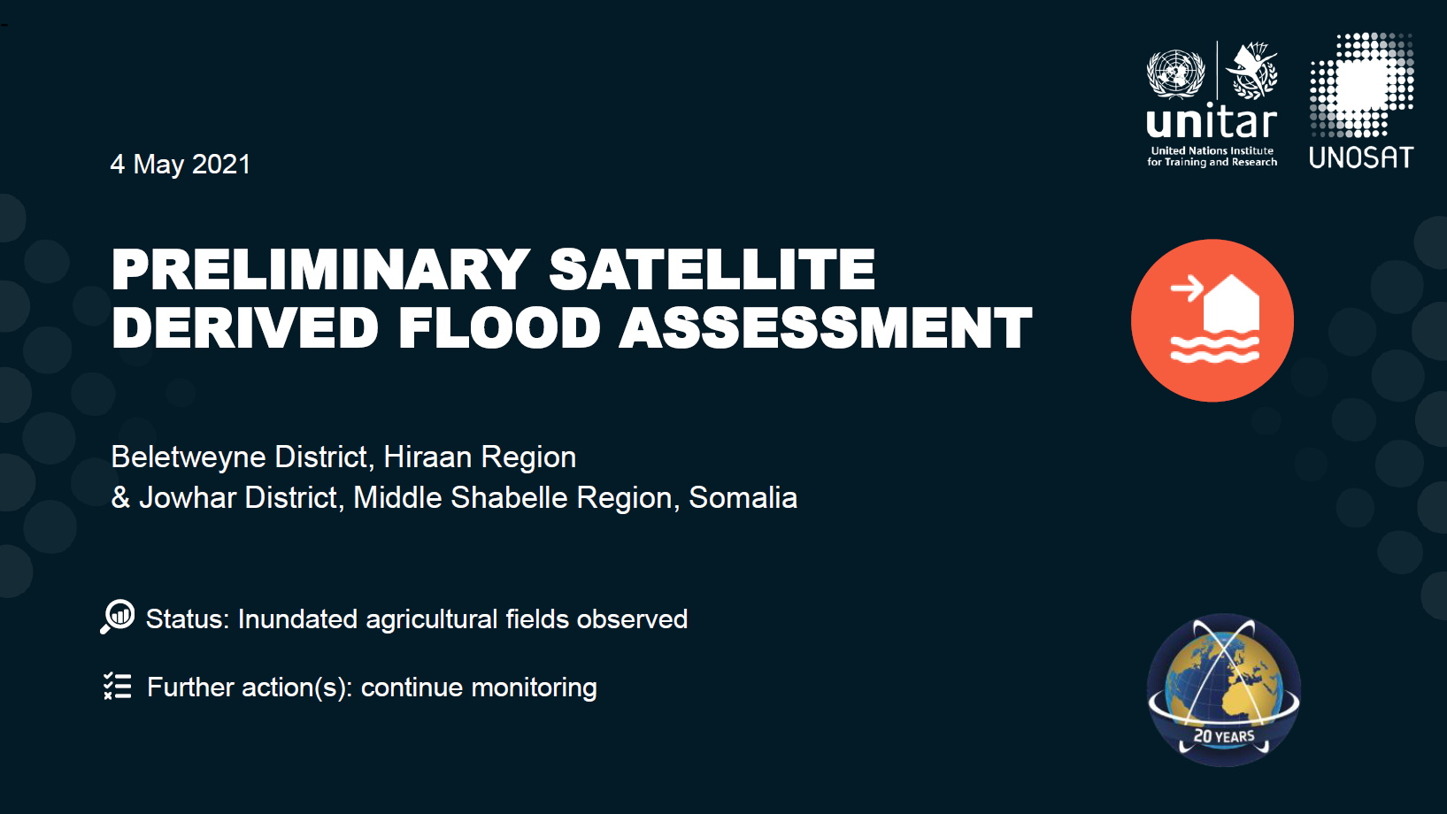
Preliminary satellite derived flood assessment over the Beletweyne District, Hiraan region & Jowhar District in the Middle Shabelle Region, Somalia
Read full report
Direitos autorais: Includes Pleiades material © CNES (2021), Distribution Airbus DS.
WorldView-3 © (2018) DigitalGlobe, Inc., Longmont CO USA 80503. DigitalGlobe and the DigitalGlobe logos are trademarks of DigitalGlobe, Inc. The use and/or dissemination of this data and/or of any product in any way derived there from are restricted. Unauthorized use and/or dissemination is prohibited
Map produced by UNITAR / UNOSAT
Information about the Product
Adquirida: WorldView-3: 12/01/2018
Pleiades: 04/05/2021
Fonte: Pleiades / WorldView-3
 Voltar ao arquivo completo da Ativação
