Earthquake in Colombia
响应状态:已关闭A catastrophic magnitude 7.4 earthquake struck western Colombia on Monday morning, 10 August 2026, causing widespread destruction. It was described as the country's most powerful earthquake recorded this century. The epicentre was located near San José del Palmar in the Chocó Department, approximately 400 km west of Bogotá, at a depth of around 103–107 km. Tremors were felt across the country, including in Bogotá, and extended into neighbouring Ecuador, Panama and Venezuela.
At least 132 to 164 people were confirmed dead, while more than 3,000 people were reported missing, including over 188 in Cali alone. Cali, Colombia's third-largest city, suffered extensive damage, with at least 40 buildings collapsing, including parts of a local hospital's paediatric and neonatal wings. In Pereira, a seven-storey building collapsed in Plaza Bolívar. Infrastructure, water supplies and communications were severely affected across the Chocó and Risaralda regions, while communication outages hampered casualty tracking in rural areas.
More than 1,000 soldiers were deployed to assist with debris clearance and emergency response operations. At least seven regional airports suspended flights due to damage to runways and terminals.
The United States State Department committed emergency funding for food and shelter, while the European Union deployed its Copernicus satellite system to help identify high-priority areas for rescue and relief operations.
- 事件类型
- 地震
- 事件地点
- Colombia
- 启动宪章的日期
- 2026-08-10
- 宪章启动时间
- 17:08
- 宪章启动时区
- UTC-05:00
- 宪章要求者
- Unidad Nacional para la Gestión del Riesgo de Desastres (UNGRD)
- 启动ID
- 1048
- 项目经理
- Jorge Armando Alpala Aguilar (Unidad Nacional para la Gestión del Riesgo de Desastres (UNGRD))
- 增值产品
- Carlos Laverde (SGC (Servicio Geológico Colombiano)),
- Javier Freites (ABAE),
- Rapid Mapping Service SERTIT (ICube SERTIT),
- Samir Belabbes (UNITAR),
- Luis Antonio Barrera (SGC (Servicio Geológico Colombiano)),
- Alexander Ariza (UNOOSA / UN-SPIDER),
- Copernicus EMS (Copernicus EMS),
- Christian Bignami (INGV),
- INPE,
- Luz María Pérez Saavedra (Expertise France)
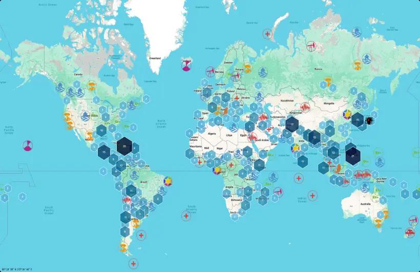
探索UNOSAT灾害地图
访问包含全球洪水、损害和灾害风险卫星评估的交互式地图。