English
 Spanish
 French
 Chinese
 Russian
 Portuguese
 Newsletter Confirmation Portlet
Latest Charter Activations
Newsletter Confirmation Portlet
Latest Charter Activations
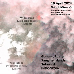
19 April 2024
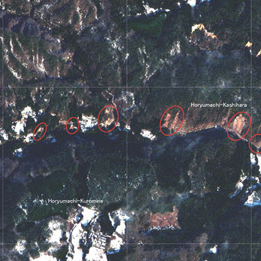
Mount Ruang volcano eruption in Indonesia
08 April 2024
Severe weather in South Africa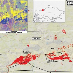
04 April 2024
Flood in Russia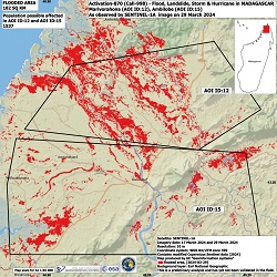
29 March 2024
Cyclone Gamane in Madagascar
15 March 2024
Flood in Mongolia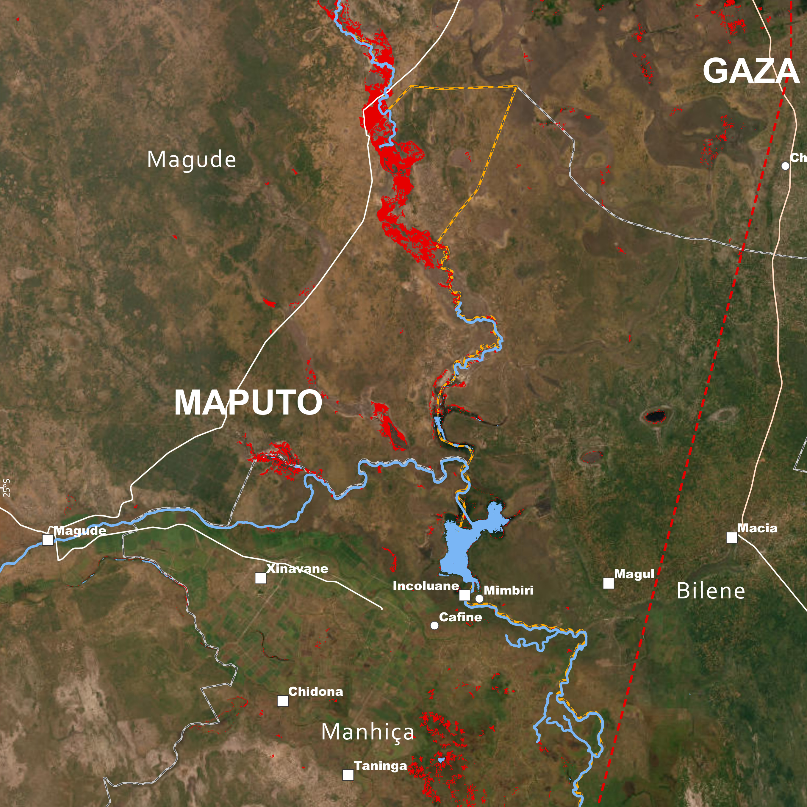
15 March 2024
Cyclone Filipo in Mozambique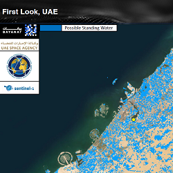
08 March 2024
Storm in United Arab Emirates
06 March 2024
Flooding in Bolivia
Latest News
09 January 2024
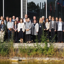
EUMETSAT and CSA Joint Leadership Period

20 December 2023
International Charter Newsletter - December 2023 - Issue 27
Charter Members
The International Charter is composed of space agencies and space system operators from around the world who work together to provide satellite imagery for disaster monitoring purposes. Find out more about the satellites the Charter members provide, and learn more about each member agency or organisation on their websites:


 Charter Partners
The Charter is supported by partners from around the world who contribute to our efforts or share similar goals.
Data contributors
Find out which organisations contribute data from their satellites to the Charter. These companies add to the Charter Members' virtual constellation, providing a wide range of satellites and data to support disaster monitoring.
Asset Publisher


 Cooperating bodies
Learn about Cooperating Bodies who provide disaster management services worldwide and have cooperating relations with the Charter, or do so for specific regions of the world. They work with the Charter to further distribution of data to end users around the world.

 Value adding organisations
Discover organisations that provide value-adding services for the Charter, producing maps based on satellite data for use in interpreting and assessing disaster situations.
Asset Publisher