 English
 Spanish
 French
 Chinese
 Russian
 Portuguese
 Последняя Активация
Charter activations
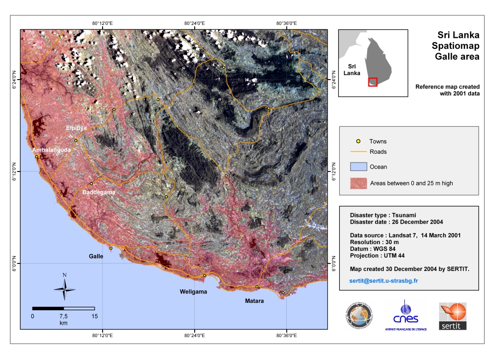
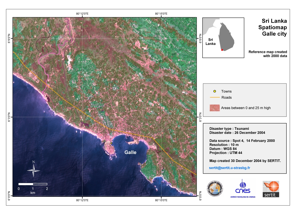
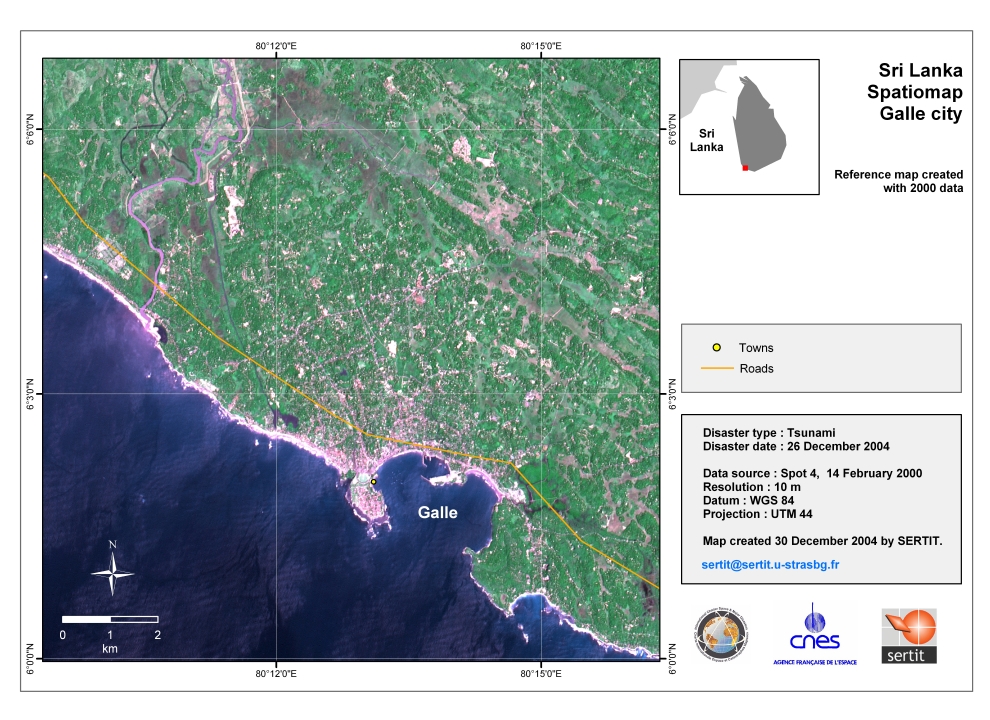
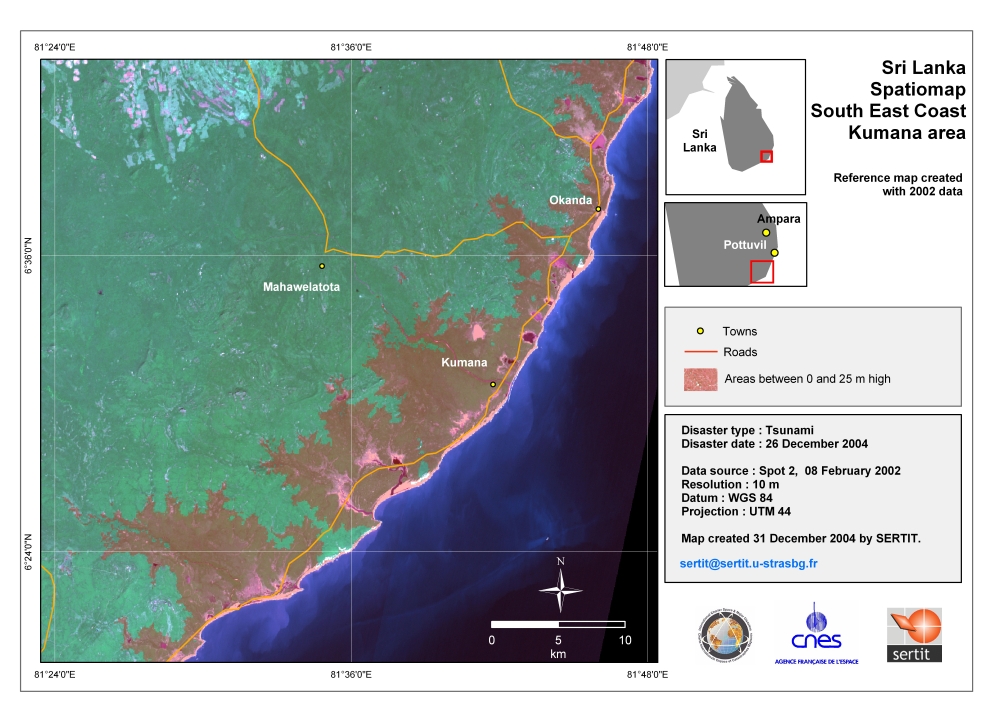
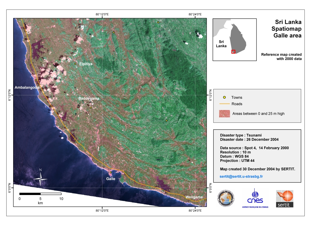
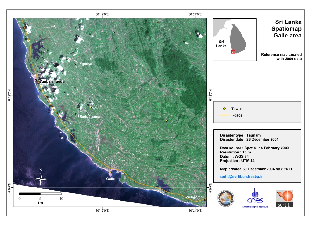
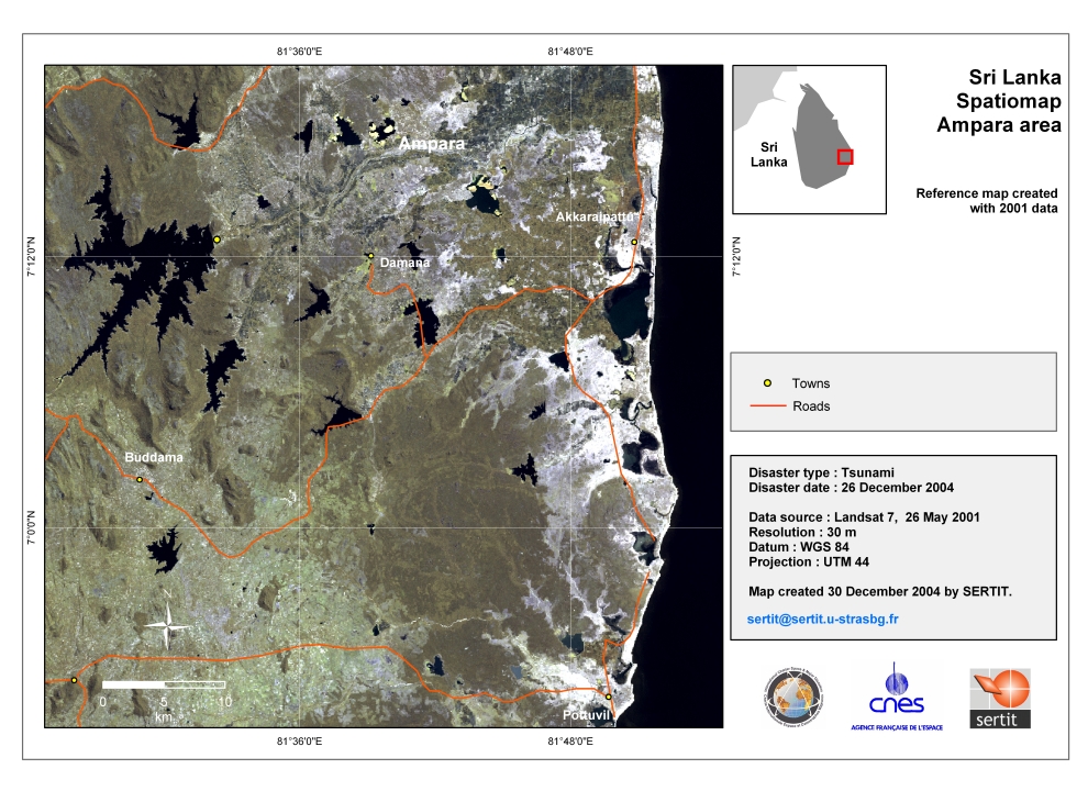
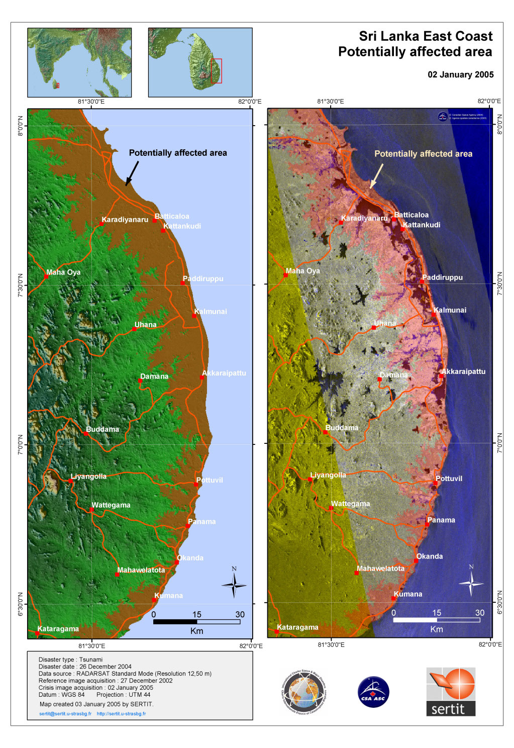
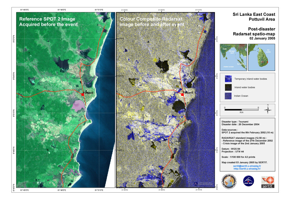
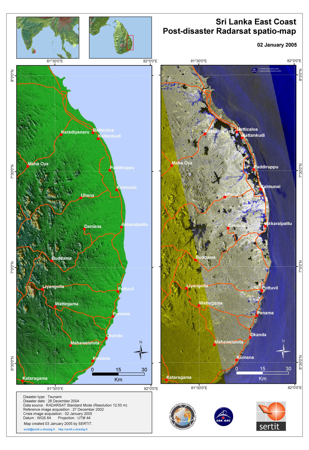
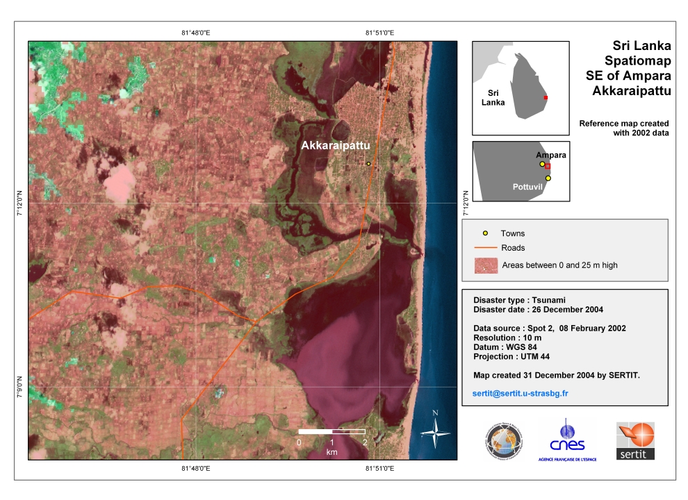
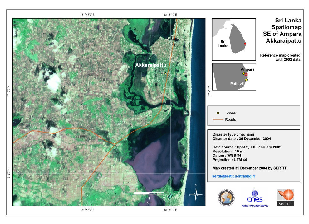
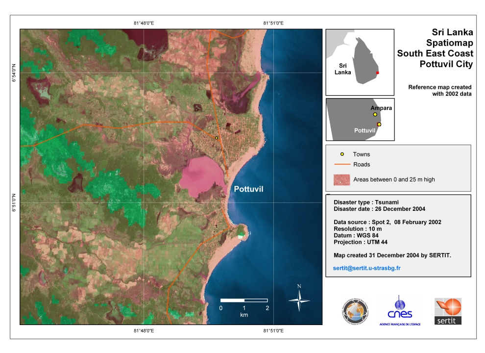
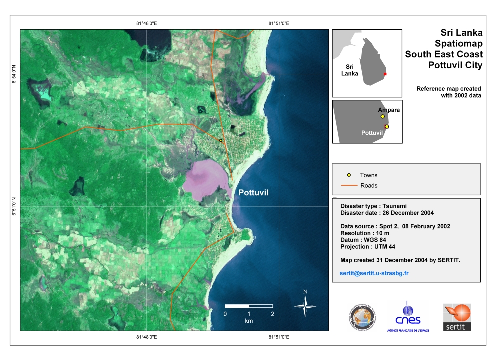
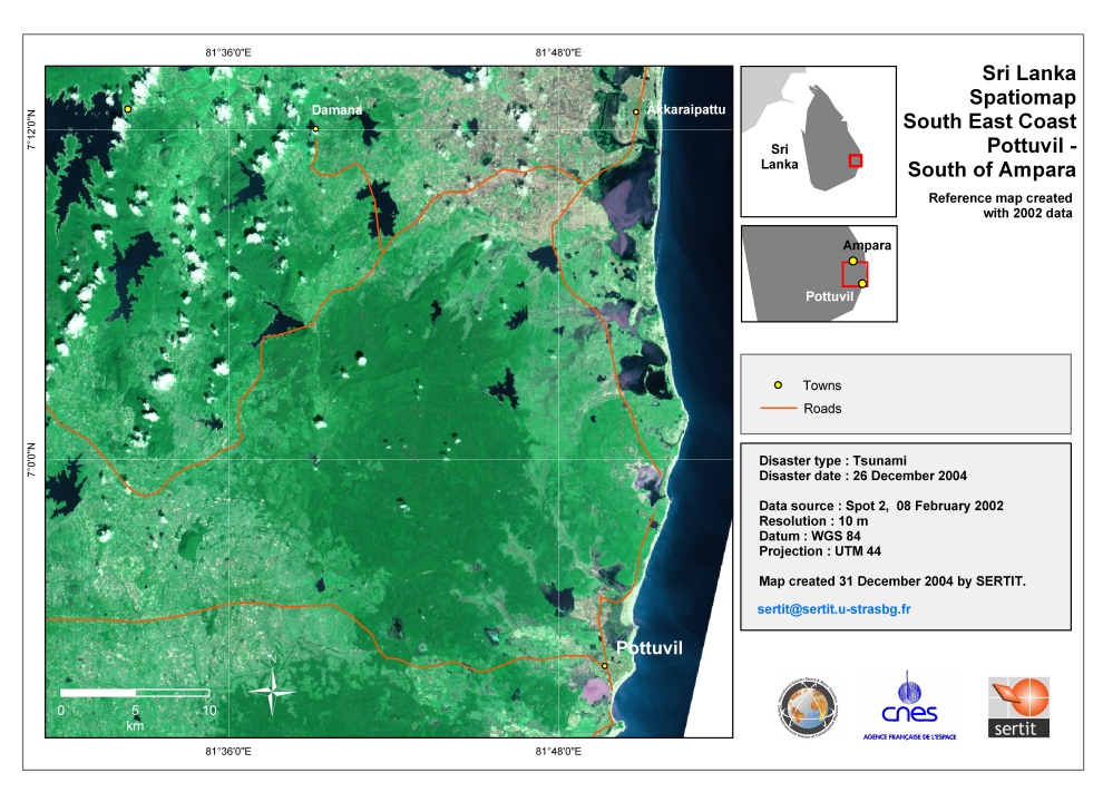
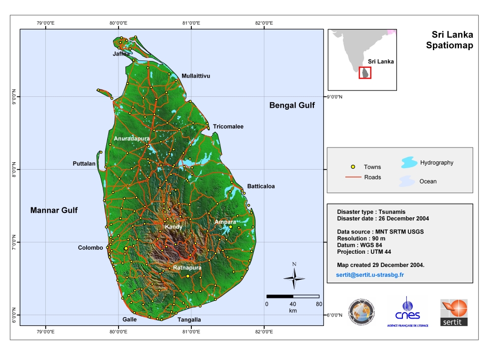
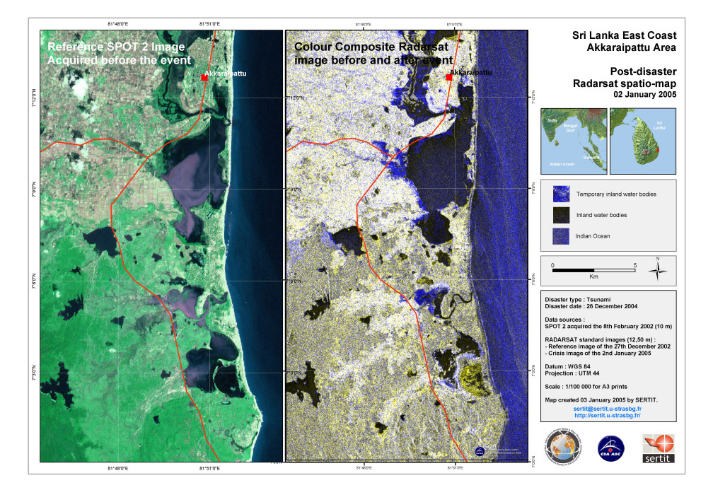
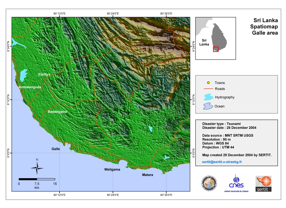
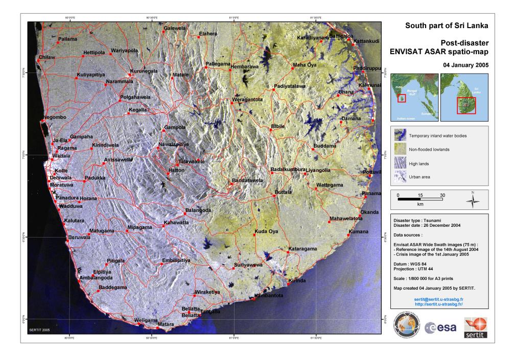
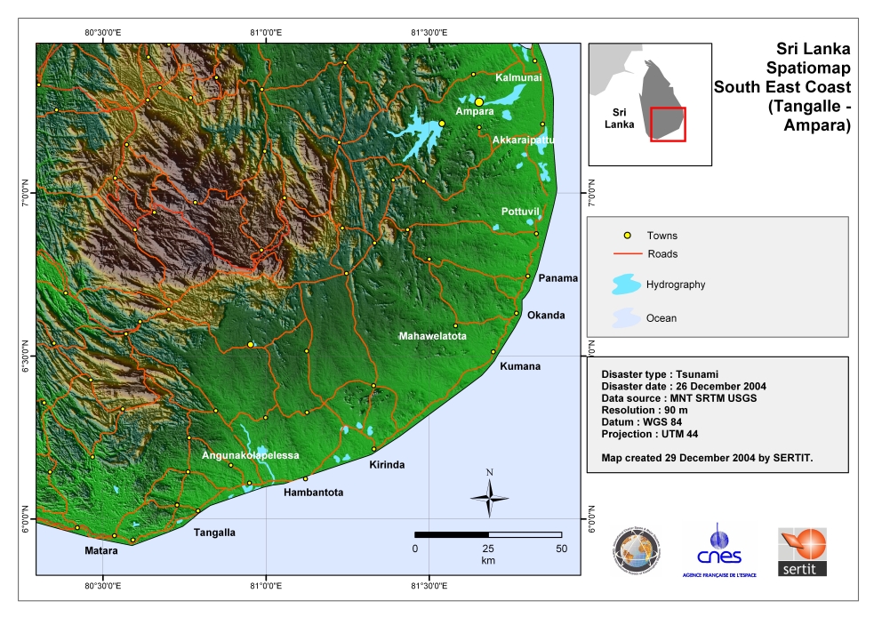
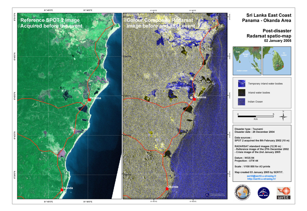
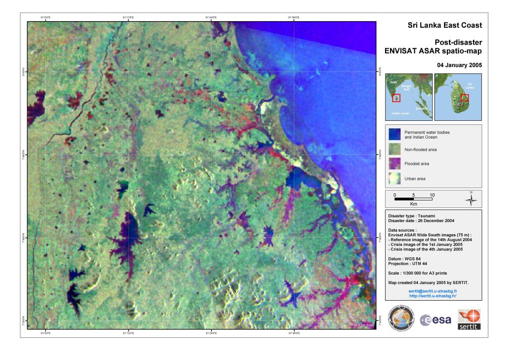
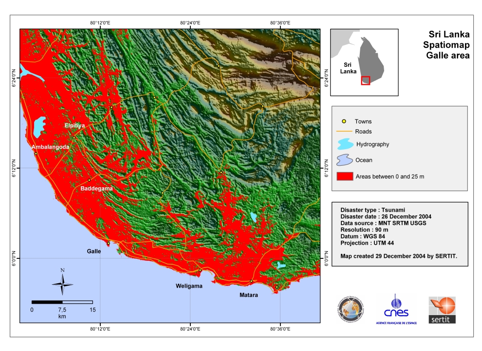
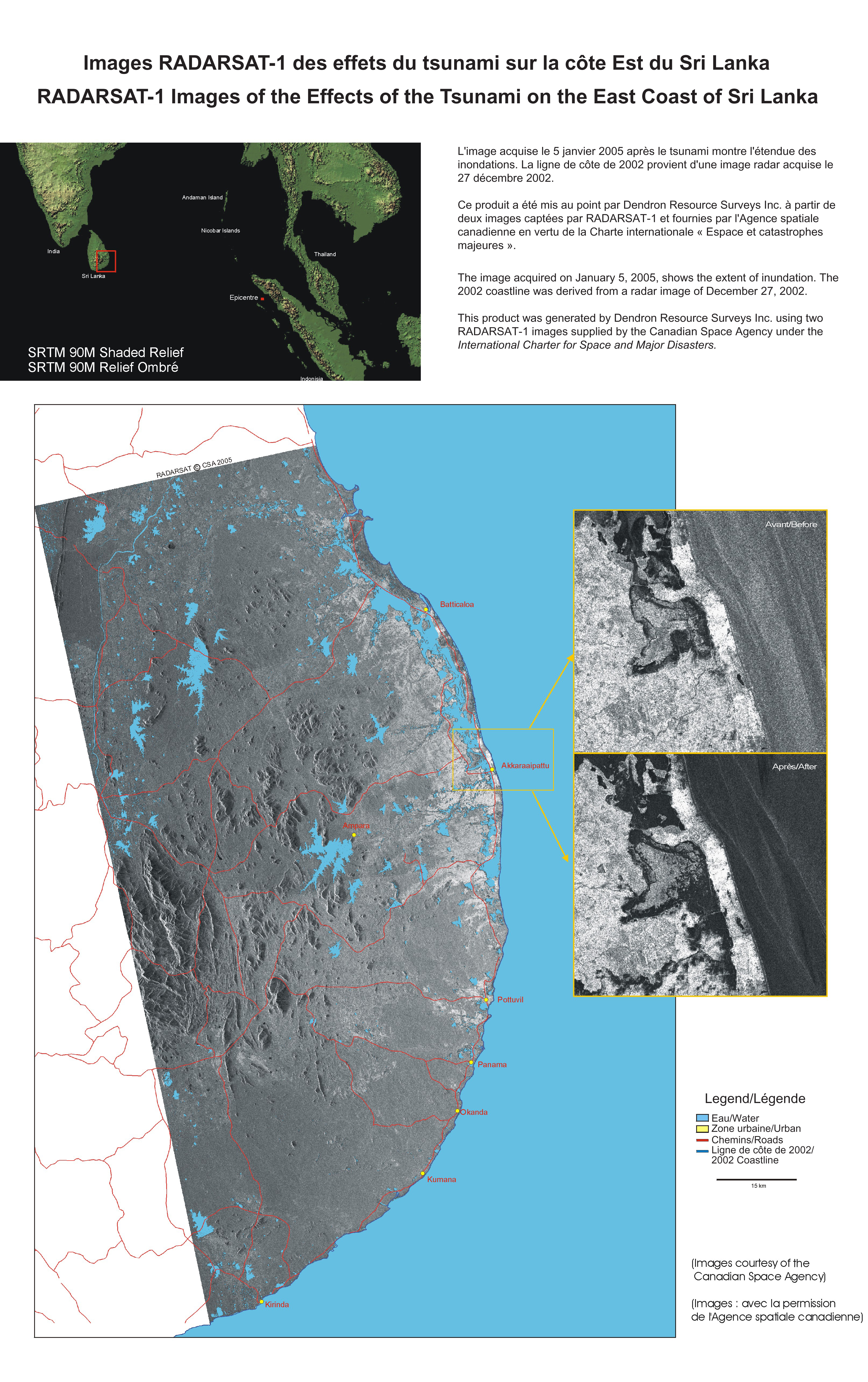
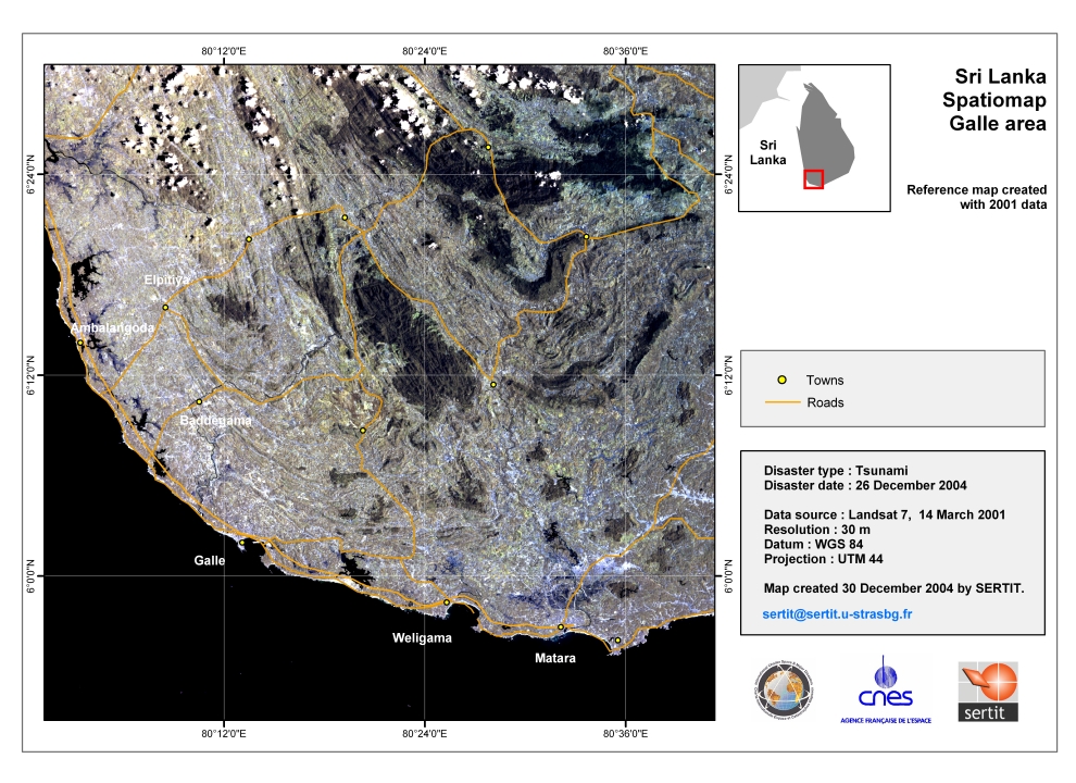
Tsunami, Sri Lanka
Following a 9.0 magnitude earthquake off the coast of Sumatra, a massive tsunami struck Sri Lanka on 26th December 2004, killing over 30,000 people.
Products


 Вернуться к полному архиву активаций
