Typhoon Khanun in Russia
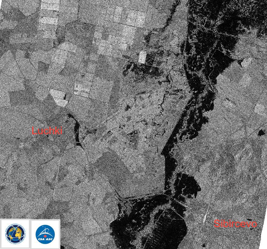
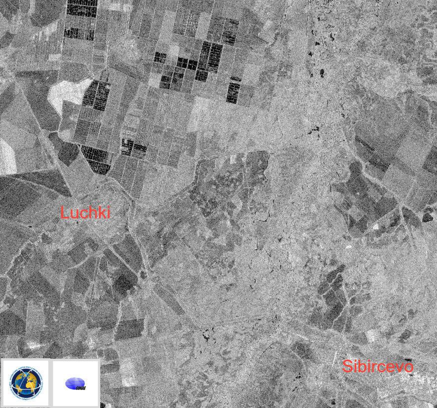
Tropical storm Khanun brought heavy rainfall which led to flooding in parts of the Primorye region in Russia's Far East at the start of August. More than 2,000 people, including 405 children, were evacuated from inundated areas.
The town of Ussuriysk, located some 75 kilometers from Primorye's capital Vladivostok, was badly affected and a dam that was necessary for holding back flood waters burst. Approximately 35-40% of Ussuriysk's territory was affected making this flood the worst in a decade.
28 settlements were cut off by stagnant water and over 4,300 residential buildings were flooded. 16 of the region's districts were affected but no casualties were reported.
A task force was sent to the Primorye region after the Typhoon had passed through to oversee a cleanup operation.
Tropical storm Khanun previously had swept over the Korean Peninsula, which borders the Primorye region, after travelling over Japan and China.
- Type of event
- Storm, Flood
- Location of event
- Russian Federation
- Date of Charter Activation
- 2023-08-14
- Time of Charter Activation
- 10:33
- Time zone of Charter Activation
- UTC+03:00
- Charter Requestor
- Ministry of the Russian Federation for Civil Defense, Emergencies and Elimination of Natural Disasters (EMERCOM)
- Activation ID
- 835
- Project Management
- Andrey Kuklin (ROSCOSMOS)
- Value Adding
- Georgy Korolyov (EMERCOM of Russia)