 English
 Spanish
 French
 Chinese
 Russian
 Portuguese
 Latest Activation
Charter activations
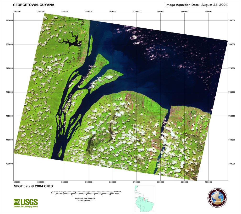
Floods in Guyana
Guyana was gripped by severe flooding as the heaviest rain in centuries struck along the coast. Authorities immediately evacuated 20,000 people from their homes to the west of the capital of Georgetown.
Six people are reported to have been killed in the floods. An estimated 300,000 people living along the coast and the banks of the Demerara River were affected.
| Type of Event: | Flood |
| Location of Event: | Georgetown, Guyana |
| Date of Charter Activation: | 01/02/2005 |
| Charter Requestor: | United Nations Office for Outer Space Affairs (UNOOSA) |
| Project Management: | NOAA |
Products

 Back to the full activation archive

