Minimizar Latest Activation

Charter activations

Fishing vessel sinking in Indian Ocean

In the early hours of 16 May, the Chinese deep-sea fishing vessel "Lu Peng Yuan Yu 028" belonging to Penglai Jinglu Fisheries Co., Ltd. capsized in the central Indian Ocean on the way to Busan, South Korea from Cape Town, South Africa. All 39 crew members on board were reported missing. The crew comprised of 17 people from China, 17 people from Indonesia, and 5 people from the Philippines.

As of now 16 of the crews' remains have been found, and search and recovery work is ongoing for the 25 still missing. China has deployed two commercial vessels to aid in the search operation. The Philippine coast guard is also helping to monitor the situation alongside Sri Lankan navy divers.

The initial alarm was raised on 15 May, discovered by a passing merchant ship however there is currently no explanation for the cause of the sinking.

Tipo de evento:Other
Local do evento:China
Data da Ativação da Carta:2023-05-17
Tempo de Ativação da Carta:11:42
Zona de Tempo da Ativação da Carta:UTC+08:00
Requisitante da Carta:China Meteorological Administration (CMS)
ID da Ativação:820
Gerenciamento de projeto:Gao Hao (CNSA)

Products

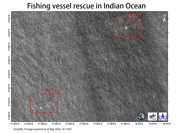
Suspected Object Identified for Fishing Vessel Rescue in the Indian Ocean

Direitos autorais: © DLR e.V. (2023), Distribution Airbus DS Geo GmbH
Map produced by CNSA.

Information about the Product

Adquirida: 25/05/2023

Fonte: TerraSAR-X

Categoria: Delineation Map

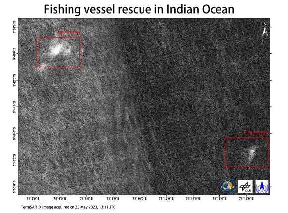
Suspected Object Identified for Fishing Vessel Rescue in the Indian Ocean

Direitos autorais: © DLR e.V. (2023), Distribution Airbus DS Geo GmbH
Map produced by CNSA.

Information about the Product

Adquirida: 25/05/2023

Fonte: TerraSAR-X

Categoria: Delineation Map

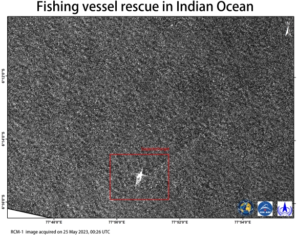
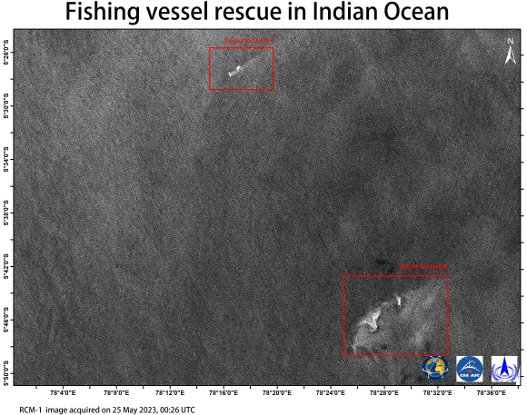
Suspected target identified for fishing vessel rescue in Indian Ocean

Direitos autorais: RADARSAT Constellation Mission Imagery © Government of Canada (2023) - RADARSAT is an official mark of the Canadian Space Agency
Map produced by CNSA.

Information about the Product

Adquirida: 25/05/2023

Fonte: RCM

Categoria: Delineation Map
Suspected target identified for fishing vessel rescue in Indian Ocean

Direitos autorais: RADARSAT Constellation Mission Imagery © Government of Canada (2023) - RADARSAT is an official mark of the Canadian Space Agency
Map produced by CNSA.

Information about the Product

Adquirida: 25/05/2023

Fonte: RCM

Categoria: Delineation Map
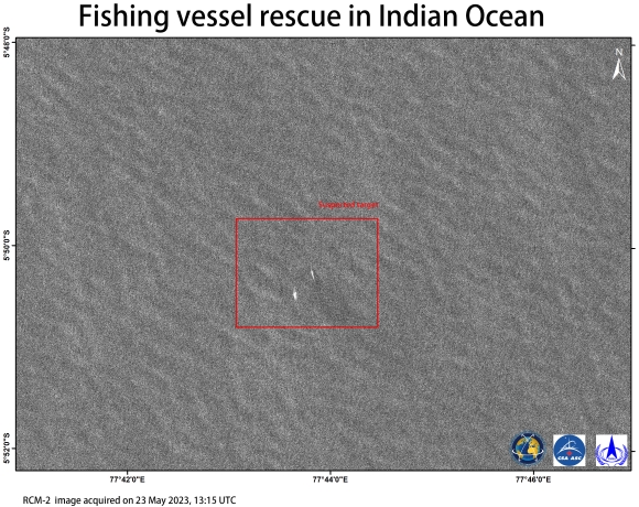
Suspected target identified for fishing vessel rescue in Indian Ocean

Direitos autorais: RADARSAT Constellation Mission Imagery © Government of Canada (2023) - RADARSAT is an official mark of the Canadian Space Agency
Map produced by CNSA.

Information about the Product

Adquirida: 23/05/2023

Fonte: RCM

Categoria: Delineation Map
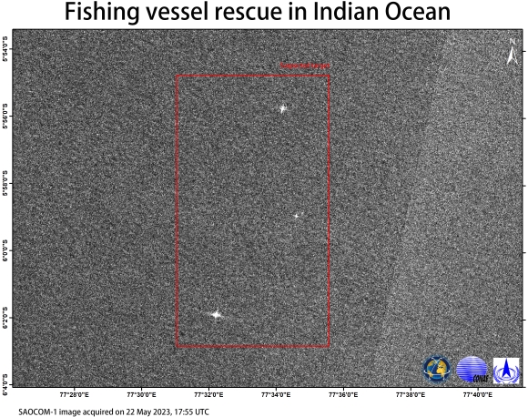
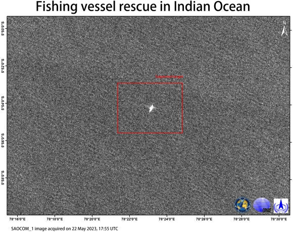
Suspected target identified for fishing vessel rescue in Indian Ocean

Direitos autorais: © CONAE (2023)
Map produced by CNSA.

Information about the Product

Adquirida: 22/05/2023

Fonte: SAOCOM

Categoria: Delineation Map

Suspected target identified for fishing vessel rescue in Indian Ocean

Direitos autorais: © CONAE (2023)
Map produced by CNSA.

Information about the Product

Adquirida: 22/05/2023

Fonte: SAOCOM

Categoria: Delineation Map

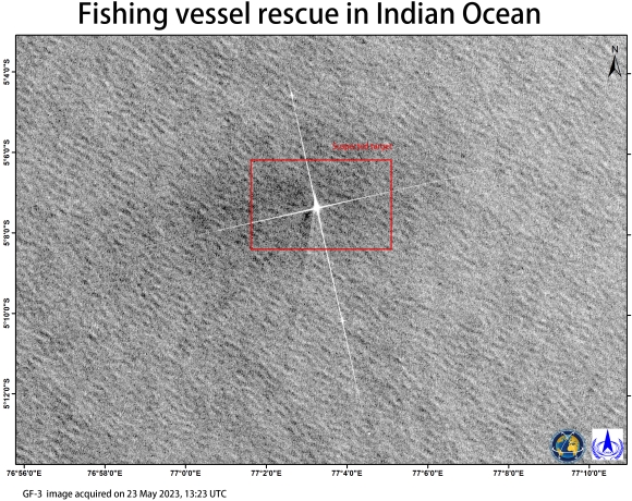
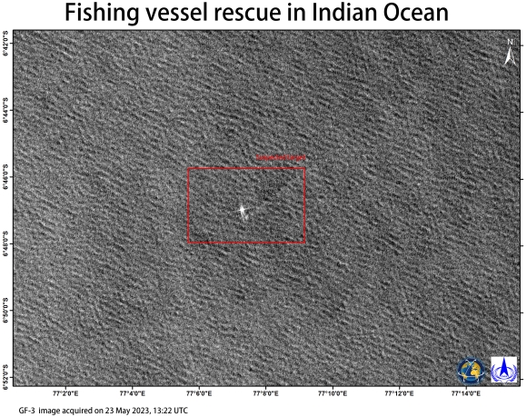
Suspected target identified for fishing vessel rescue in Indian Ocean

Direitos autorais: © CNSA/CRESDA (2023)
Map produced by CNSA.

Information about the Product

Adquirida: 23/05/2023

Fonte: GF-3

Categoria: Delineation Map

Suspected target identified for fishing vessel rescue in Indian Ocean

Direitos autorais: © CNSA/CRESDA (2023)
Map produced by CNSA.

Information about the Product

Adquirida: 23/05/2023

Fonte: GF-3

Categoria: Delineation Map

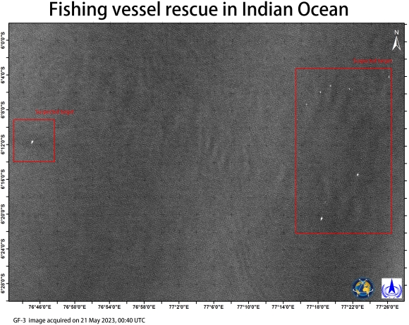
Suspected target identified for fishing vessel rescue in Indian Ocean

Direitos autorais: © CNSA/CRESDA (2023)
Map produced by CNSA.

Information about the Product

Adquirida: 21/05/2023

Fonte: GF-3

Categoria: Delineation Map

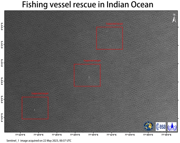
Suspected target identified for fishing vessel rescue in Indian Ocean

Direitos autorais: Contains modified Copernicus Sentinel data (2023)
Map produced by CNSA.

Information about the Product

Adquirida: 22/05/2023

Fonte: Sentinel-1

Categoria: Delineation Map

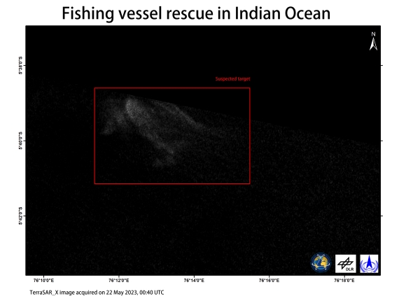
Suspected target identified for fishing vessel rescue in Indian Ocean

Direitos autorais: © DLR e.V. (2023), Distribution Airbus DS Geo GmbH
Map produced by CNSA.

Information about the Product

Adquirida: 22/05/2023

Fonte: TerraSAR-X

Categoria: Delineation Map

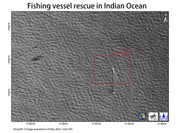
Suspected target identified for fishing vessel rescue in Indian Ocean

Direitos autorais: © DLR e.V. (2023), Distribution Airbus DS Geo GmbH
Map produced by CNSA.

Information about the Product

Adquirida: 20/05/2023

Fonte: TerraSAR-X

Categoria: Delineation Map

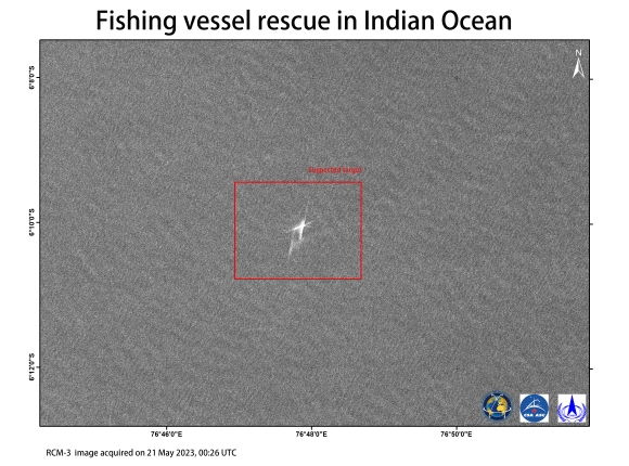
Suspected target identified for fishing vessel rescue in Indian Ocean

Direitos autorais: RADARSAT Constellation Mission Imagery © Government of Canada (2023) - RADARSAT is an official mark of the Canadian Space Agency.
Map produced by CNSA.

Information about the Product

Adquirida: 21/05/2023

Fonte: RCM

Categoria: Delineation Map

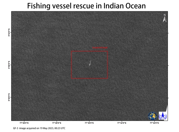
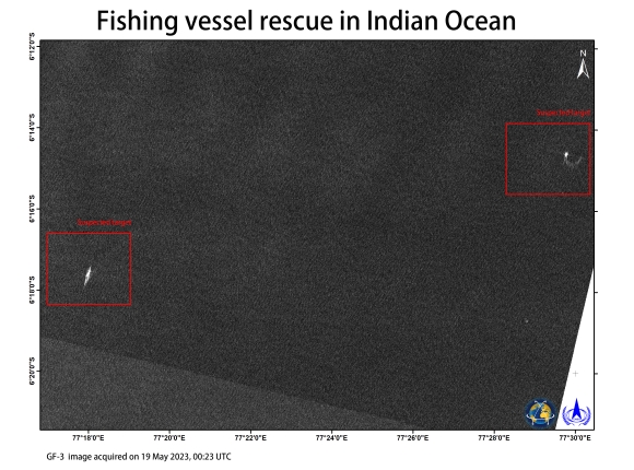
Suspected target monitoring in Indian Ocean

Direitos autorais: © CNSA/CRESDA (2023)
Map produced by CNSA.

Information about the Product

Adquirida: 19/05/2023

Fonte: GF-3

Categoria: Delineation Map

Suspected target identified for fishing vessel rescue in Indian Ocean

Direitos autorais: © CNSA/CRESDA (2023)
Map produced by CNSA.

Information about the Product

Adquirida: 19/05/2023

Fonte: GF-3

Categoria: Delineation Map

Suspected target identification for fishing vessel rescue in Indian Ocean

Direitos autorais: USGS/NASA Landsat Program
Map produced by CNSA.

Information about the Product

Adquirida: 22/05/2023

Fonte: Landsat 8

Categoria: Delineation Monitoring Maps

Voltar ao arquivo completo da Ativação