English
 Spanish
 French
 Chinese
 Russian
 Portuguese
 Newsletter Confirmation Portlet
最近の発動
Newsletter Confirmation Portlet
最近の発動
08 4月 2024
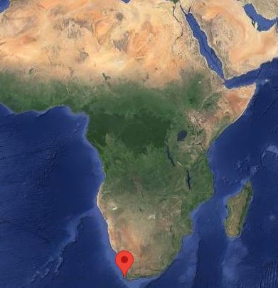
Severe weather in South Africa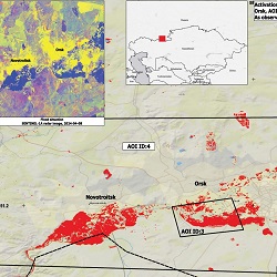
04 4月 2024
Flood in Russia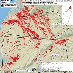
29 3月 2024
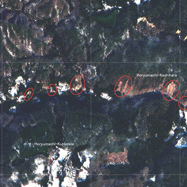
Cyclone Gamane in Madagascar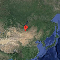
15 3月 2024
Flood in Mongolia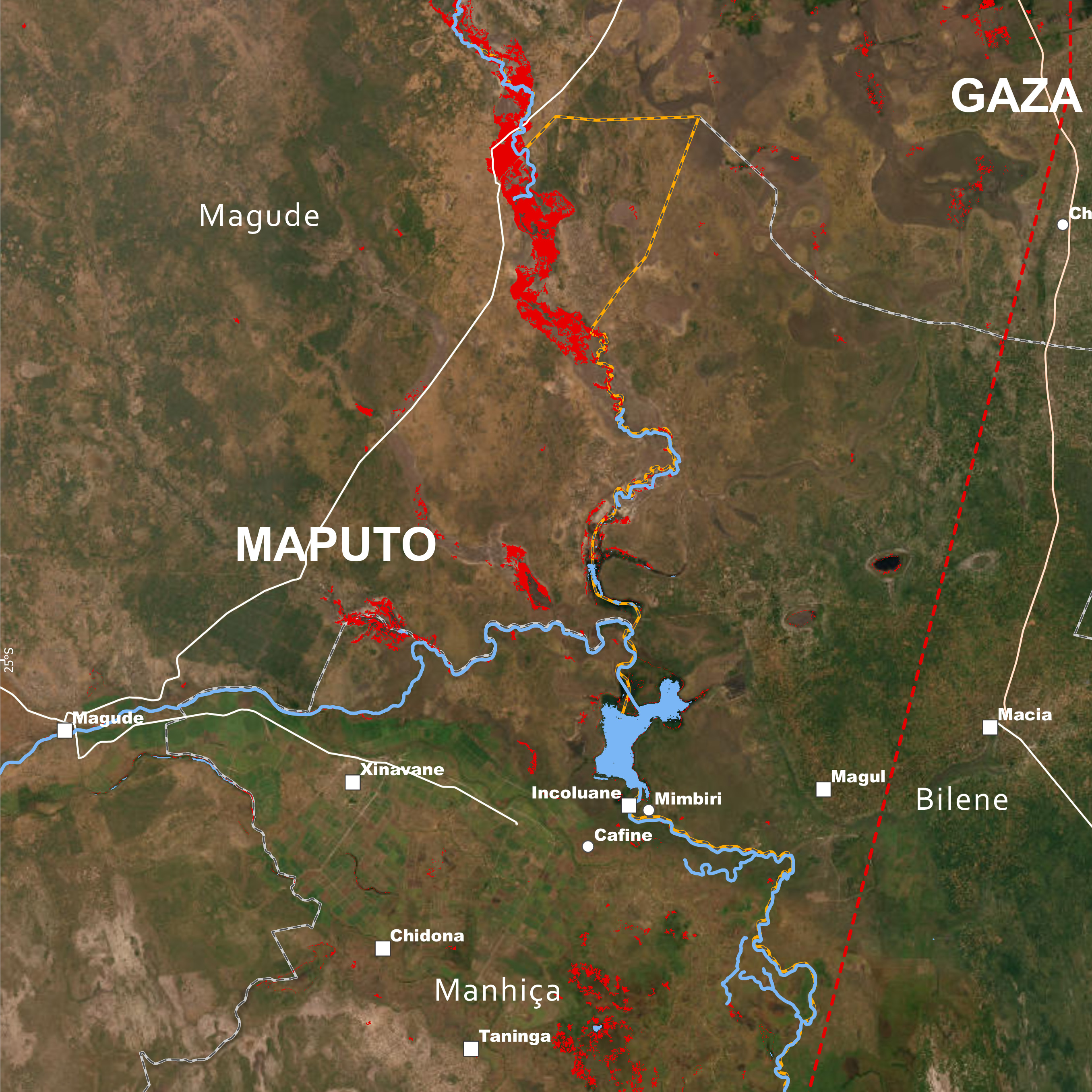
15 3月 2024
Cyclone Filipo in Mozambique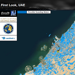
08 3月 2024
Storm in United Arab Emirates
06 3月 2024
Flooding in Bolivia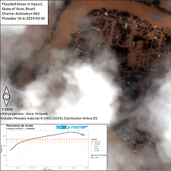
29 2月 2024
Flooding in Brazil
最近の情報
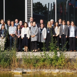
 Charter Members
国際災害チャーターは、世界中の宇宙機関および宇宙システムの運用者で構成されており、災害監視を目的とした衛星画像を提供するために協力しています。現在のメンバーについて詳しくはこちらから:


 Charter Partners
チャーターは、チャーターの取組みに貢献してくださったり、同じ目標を共有している世界中のパートナーによって支えられています。
- 世界の各地域で災害監視サービスを提供している団体は、チャーターと協力して、より詳しいデータをエンドユーザーに配信します
- データプロバイダは、災害監視に役立つ追加の衛星データを提供します
- 付加価値プロバイダは、災害状況の解析と評価に役立てるため、衛星データをもとにマップを生成します
Data contributors
Find out which organisations contribute data from their satellites to the Charter. These companies add to the Charter Members' virtual constellation, providing a wide range of satellites and data to support disaster monitoring.
Asset Publisher


 Cooperating bodies
Learn about Cooperating Bodies who provide disaster management services worldwide and have cooperating relations with the Charter, or do so for specific regions of the world. They work with the Charter to further distribution of data to end users around the world.

 Value adding organisations
Discover organisations that provide value-adding services for the Charter, producing maps based on satellite data for use in interpreting and assessing disaster situations.