 English
 Spanish
 French
 Chinese
 Russian
 Portuguese
 Flooding in Haiti
Flooding in Haiti
Charter activations
Flooding in Haiti
Tropical Storm Grace passed over Haiti on 16 and 17 August, bringing heavy rain and wind to a country still in the midst of rescue efforts following the 7.2 magnitude earthquake on 14 August.
The storm caused flash floods and landslides as it moved west past Haiti and onward into the rest of the Caribbean.
The floods caused further disruption to the post-earthquake recovery, forcing some evacuees to be moved again to safer locations. Flooded streets also complicate already difficult supply lines, and the storm damaged tents housing victims unable to seek shelter in over capacity hospitals.
| Type of Event: | Flood |
| Location of Event: | Haiti |
| Date of Charter Activation: | 2021-08-17 |
| Time of Charter Activation: | 20:15 |
| Time zone of Charter Activation: | UTC+02:00 |
| Charter Requestor: | Direction de la Protection Civile de Haiti |
| Activation ID: | 730 |
| Project Management: | ICube-SERTIT |
Products
Areas affected by flooding from M7.2 Earthquake in Haiti
Copyright: RADARSAT Constellation Mission Imagery © Government of Canada (2021) - RADARSAT is an official mark of the Canadian Space Agency
Map produced by BGC
Information about the Product
Acquired: 18/08/2021
Source: RCM
Category: Delineation Map
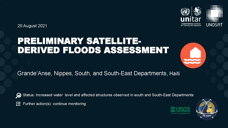
Preliminary satellite-derived floods assessment, Grande'Anse, Nippes, South, and South-East Departments, Haiti
Download the full report
Copyright: WorldView-1, WorldView-2 and WorldView-3 © (2021) DigitalGlobe, Inc., Longmont CO USA 80503. DigitalGlobe and the DigitalGlobe logos are trademarks of DigitalGlobe, Inc. The use and/or dissemination of this data and/or of any product in any way derived there from are restricted. Unauthorized use and/or dissemination is prohibited
Contains modified Copernicus Sentinel data (2021)
Includes Pleiades material © CNES (2021), Distribution Airbus DS.
PlanetScope © Planet Labs Inc. (2021)
Report produced by UNITAR/UNOSAT
Information about the Product
Acquired: WorldView-3: 14/09/2020
WorldView-2: 29/08/2019, 13/08/2021, 15/08/2021
WorldView-1: 18/08/2021
Sentinel-2: 04/08/2021, 06/08/2021
Pleiades: 27/01/2021
PlanetScope: 18/08/2021
Source: WorldView-1, WorldView-2, WorldView-3 / Sentinel-2 / Pleiades / PlanetScope
Category: Dossier

 Back to the full activation archive
