English
 Spanish
 French
 Chinese
 Russian
 Portuguese
 Landslides
Landslides
Landslides occur when ground on slopes becomes unstable. The unstable ground collapses and flows down the side of a hill or mountain, and can consist of earth, rocks, mud and any debris which may be caught in its wake.
If a landslide occurs near inhabited areas, it can cause a great deal of damage. They can strike quickly and bury entire villages. Buildings are damaged or flattened and roads, bridges and infrastructure can be damaged or destroyed by the debris.
Given the nature of such disasters, fast relief and rescue operations are required to get to trapped survivors but this can be delayed due to landslides cutting off easy access to the affected area. Satellites provide key observations of the area, assessing the damage and identifying areas where survivors may potentially be.
The destabilisation of ground can be caused by heavy rain and floods, seismic activity, erosion from oceans and rivers, or changes to vegetation affecting soil composition.
The first activation of the Charter was for a landslide in Slovenia in 2000.

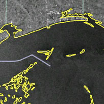
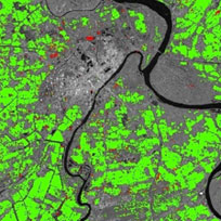
Landslide inventory mapping from the British Geological Survey, Durham University and other agencies
Acquired:
Source: WorldView / UK-DMC2 / SPOT / Pleiades / RADARSAT-2
${media-credit-description.data}
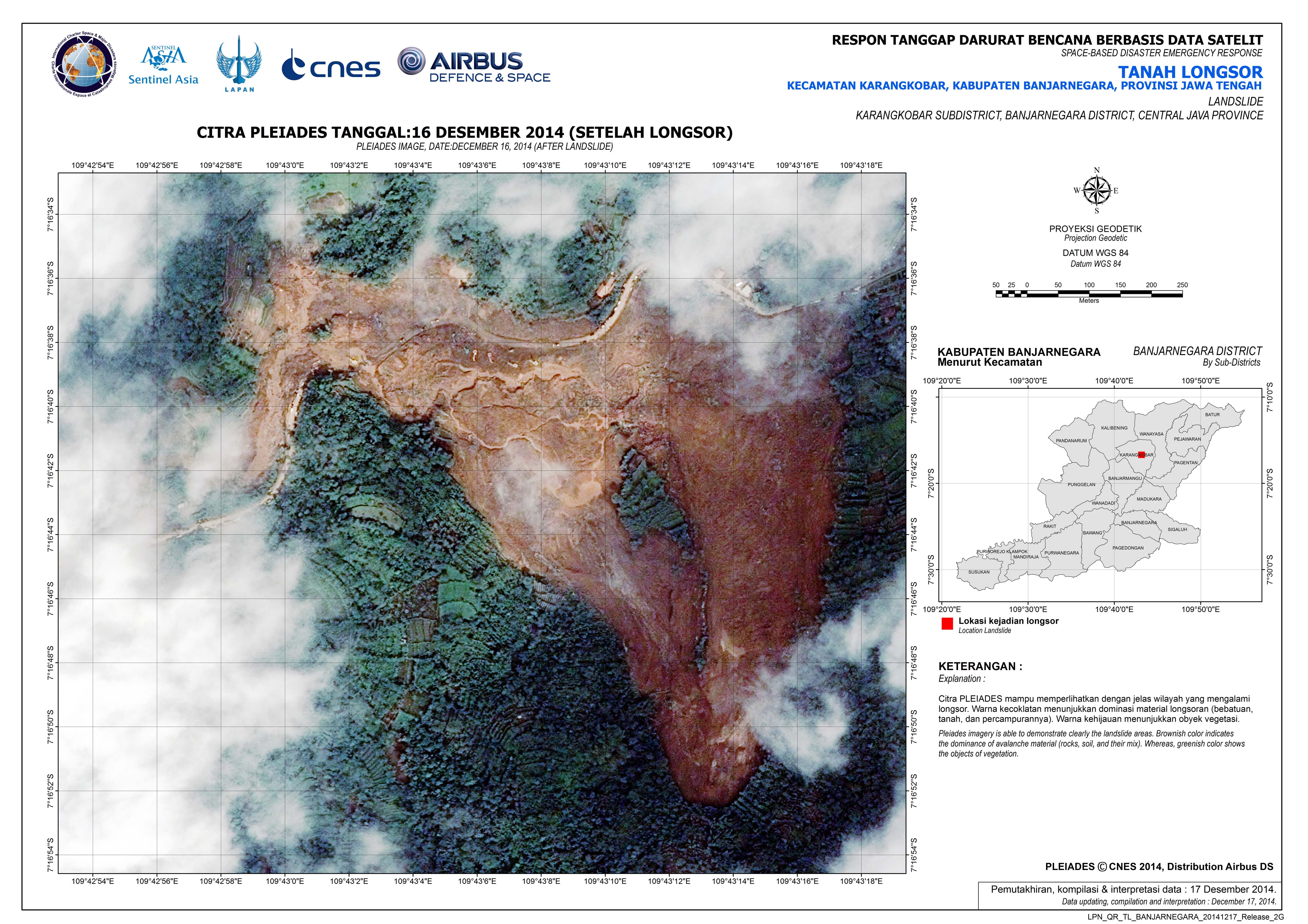
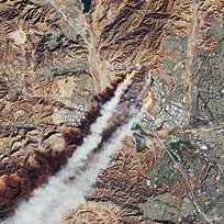
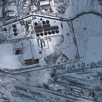
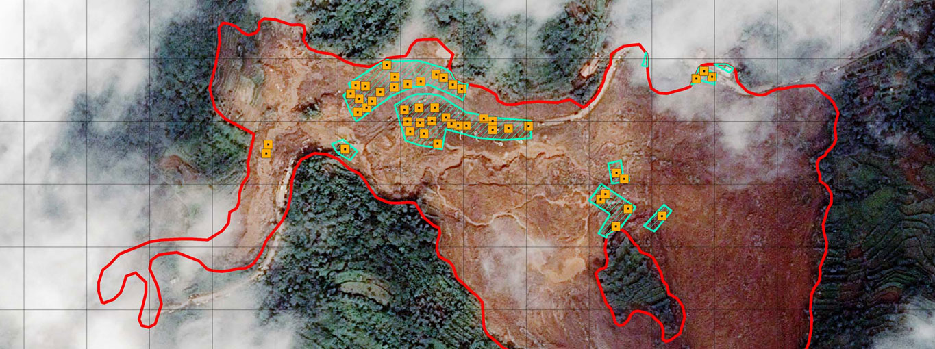
Landslide, Karangkobar subdistrict, Central Java Province, Indonesia
Acquired: 16/12/2014
Source: Pleiades
${media-credit-description.data}
Related Charter Activations
08 April 2024
Severe weather in South Africa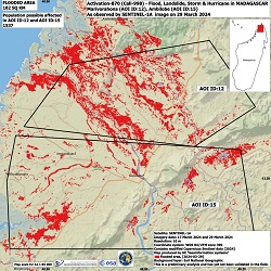
29 March 2024
Cyclone Gamane in Madagascar
20 February 2024
Flood in Ecuador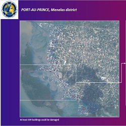
19 November 2023
Storm in Haiti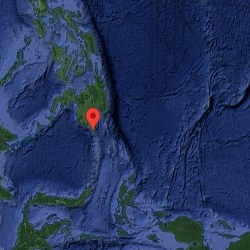
18 November 2023
Earthquake in Philippines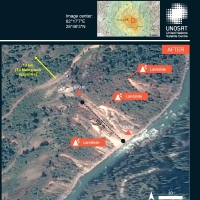
04 November 2023
Earthquake in Nepal
Web Content Display
Other types of disaster monitored by the Charter