 English
 Spanish
 French
 Chinese
 Russian
 Portuguese
 Latest Activation
Charter activations
Flood in Kenya
Heavy rainfall across Kenya throughout October has affected over 101,000 people, displaced many thousands and killed 29. The north-eastern, central, and coastal regions are the hardest hit areas, affected by landslides, mudslides and flash flooding.
Destruction and damage of infrastructure-including roads, bridges, schools and hospitals–have been reported in multiple locations. Wajir and Mombasa County have reported power outages caused by fallen electricity pylons, and many roads are impassable, affecting food and medical supplies coming in.
NOAA have recorded rainfall levels at more than 120mm above normal for this time of year. The Kenyan Meteorological Department has predicted above average rainfall for the coming days and weeks.
| Type of Event: | Flood |
| Location of Event: | Kenya |
| Date of Charter Activation: | 2019-10-31 |
| Time of Charter Activation: | 21:48 |
| Time zone of Charter Activation: | UTC+01:00 |
| Charter Requestor: | UNITAR-UNOSAT on behalf of United Nations Office for the Coordination of Humanitarian Affairs (OCHA), Regional Office for Southern and Eastern Africa (ROSEA) |
| Activation ID: | 628 |
| Project Management: | UNITAR/UNOSAT |
Products

Preliminary assessment of flood in north eastern province of Kenya as of 5 November 2019
Download the full report
Copyright: Report produced by UNITAR/UNOSAT
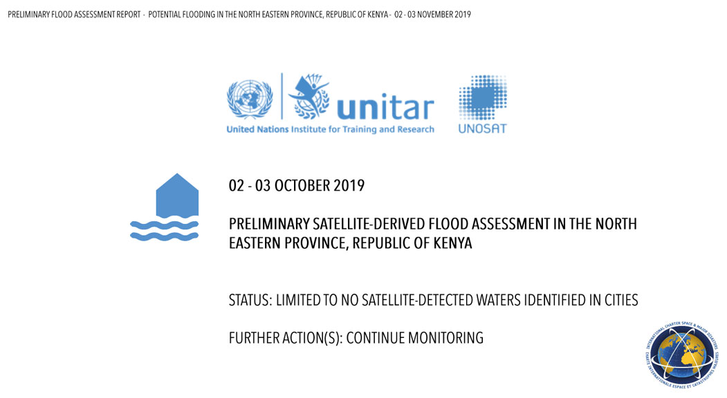
Preliminary assessment of flood in north eastern province of Kenya
Download the full report
Copyright: Report produced by UNITAR/UNOSAT


 Back to the full activation archive

