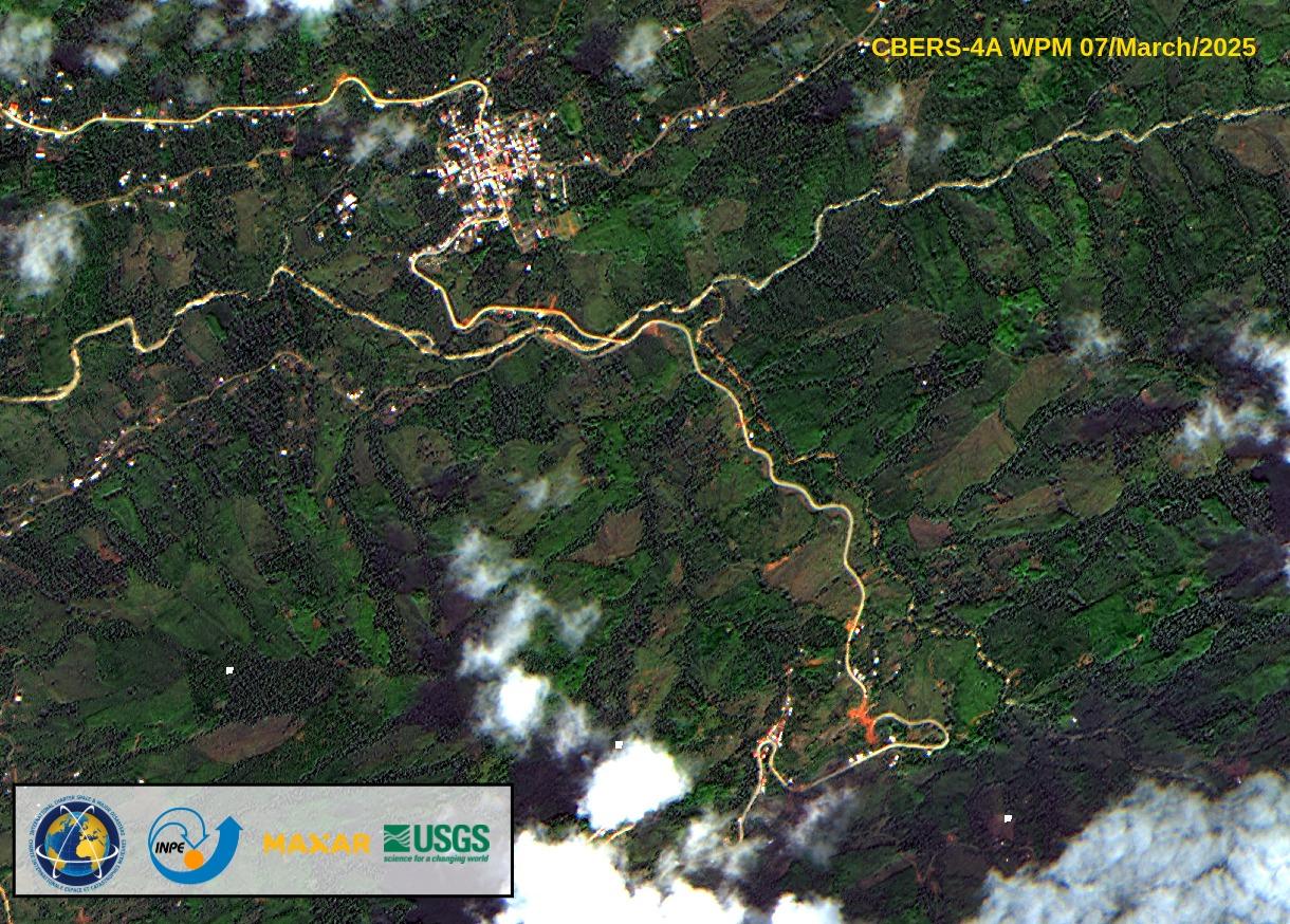
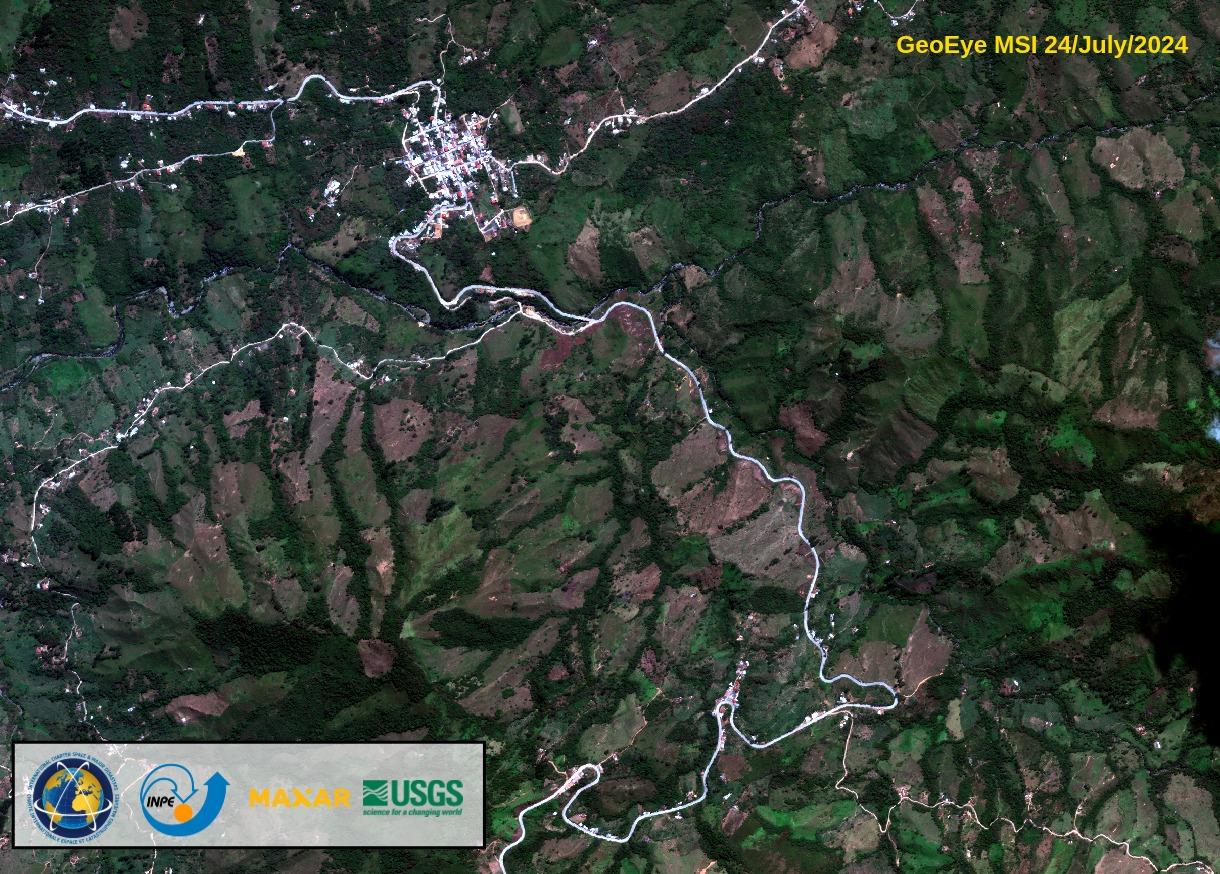
Landslide in Ecuador
Ecuador experienced significant rainfall that notably impacted the provinces of Manabí, Guayas, Los Ríos, El Oro, Esmeraldas, Loja, and Chimborazo, located in the western region of the country.
The severe rainfall resulted in widespread flooding and landslides. According to the National Secretariat for Risk Management, 18 fatalities were reported as of 10 March.
Over 80,000 people were affected by the adverse weather conditions, with approximately 950 residents temporarily relocated to designated shelters. Additionally, 115 homes were confirmed destroyed, while 23,689 sustained varying degrees of damage. Several roads and highways remained obstructed. Approximately 2,000 hectares of crops were lost due to flooding, and an estimated 45,000 farm animals perished as a result.
Due to the impact on the national power supply, electricity was temporarily transferred between Peru and Ecuador to help stabilize the grid.
Further rainfall was anticipated across the country, with isolated heavy downpours expected particularly in eastern regions in the days that followed.
- Type of event
- Landslide
- Location of event
- Ecuador
- Date of Charter Activation
- 2025-03-11
- Time of Charter Activation
- 12:15
- Time zone of Charter Activation
- UTC-05:00
- Charter Requestor
- SECRETARIA NACIONAL DE GESTION DE RIESGOS (SNGR)
- Activation ID
- 951
- Project Management
- Martha Villagomez (Instituto Geográfico Militar)
- Value Adding
- Copernicus EMS (Copernicus EMS),
- Instituto Geográfico Militar,
- Némiga Xanat Antonio (Autonomous University of Mexico State (UAEMEX)),
- Cesar Buitron (Instituto Geográfico Militar),
- Ricardo Elizalde (Instituto Geográfico Militar),
- victor Navarro (ABAE),
- Brenda Rocha (INPE)